Castleford to Knottingley
Following last September’s walk out to Woodlesford I decided on a different leg of the Aire and Calder for another walk, from Castleford, out to Knottingley.
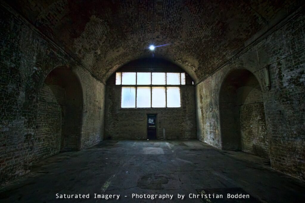
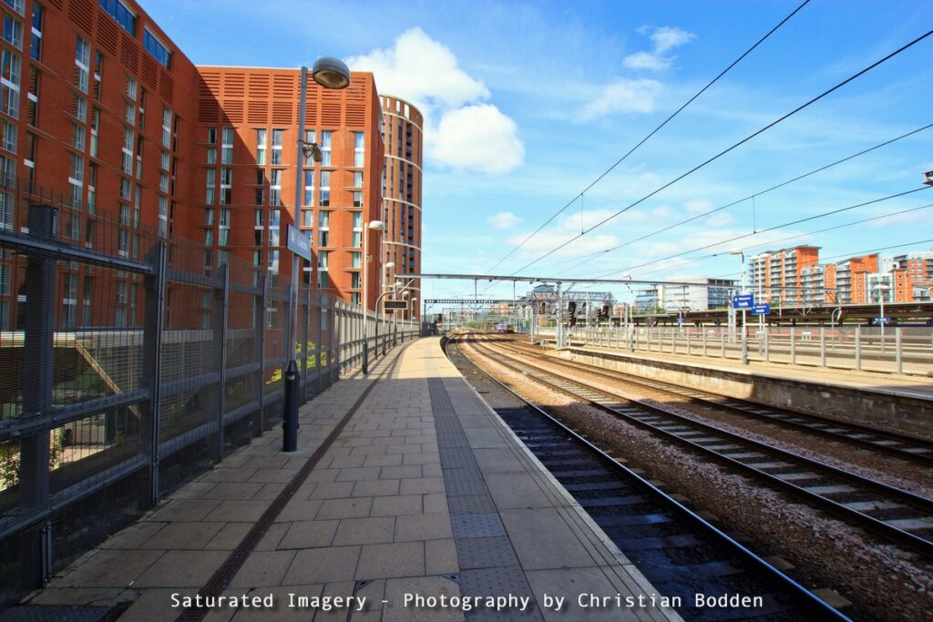
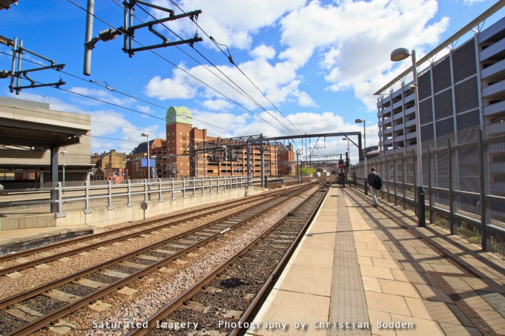
So this time I started at the station, with a brief detour to test the low light capabilities of my Canon 60D udner the arches and a couple of wide-angle station shots.
Castleford, or at least a settlement at this location dates from Roman times, but it was not until the 19th century when with the expansion of mining in the area the town boomed from 1,000 to around 14,000 inhabitants (It now stands over 40,000). However as mining declined so has the town to some extent and problems such as street drinking and antisocial behaviour have grown.
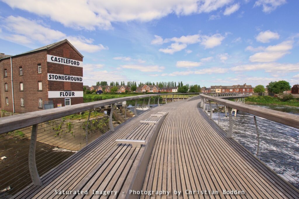
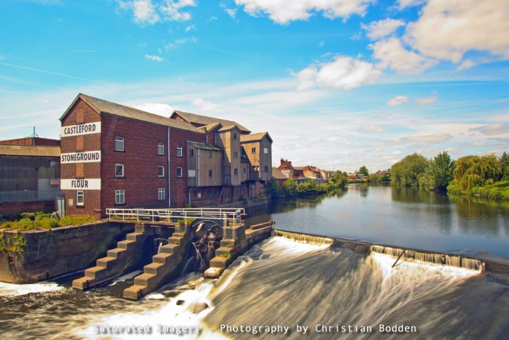
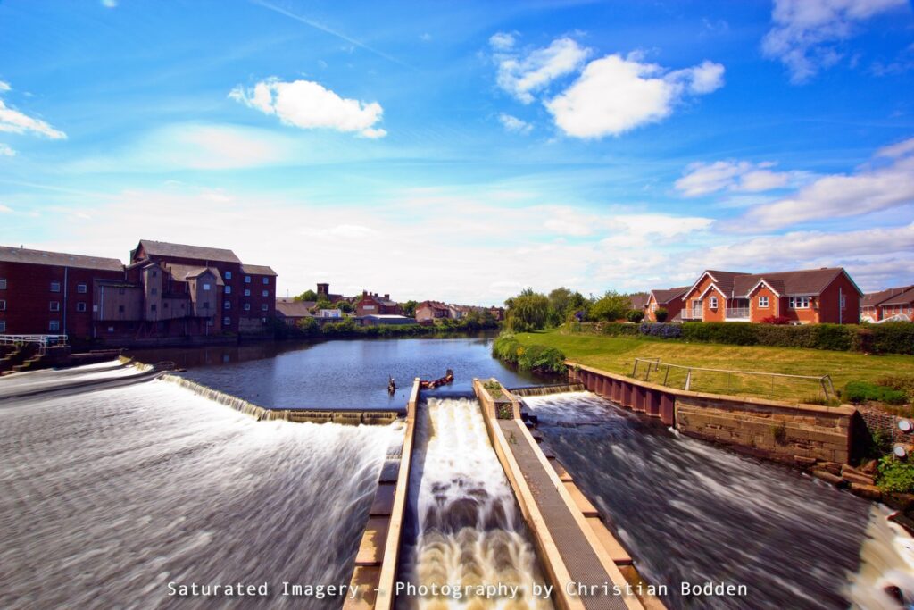
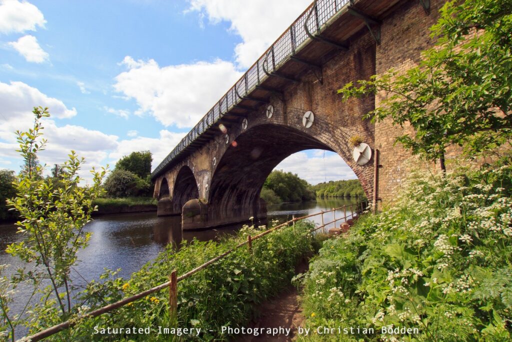
The new footbridge was opened in 2008 with the aim of uniting the communities on either side of the river. The small neighbourhood to the north, on the island where the Aire and Calder meet has a distictly Bohemian atmosphere compared to the rest of the town. The Allinsons Mill, the world’s largest stone grinding flour mill, with twenty pairs of stones, stands by the river; this now closed.
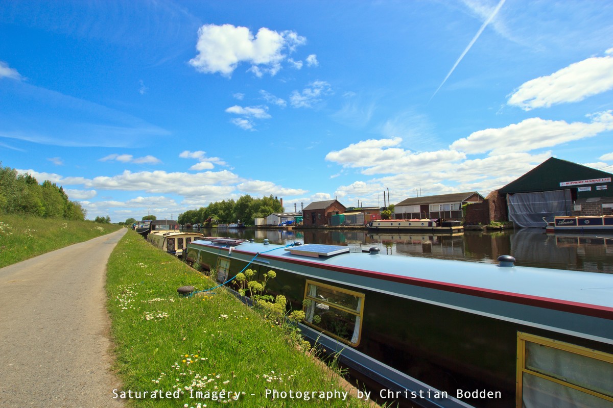
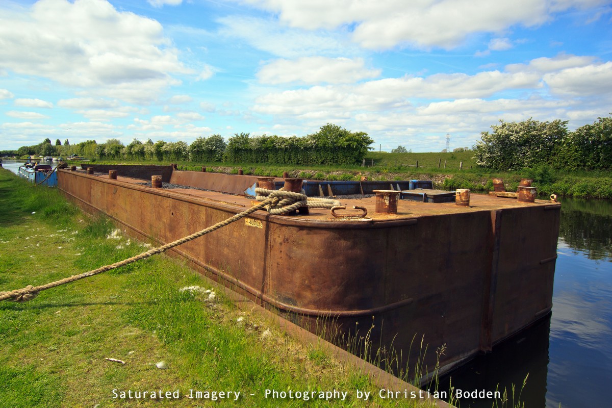
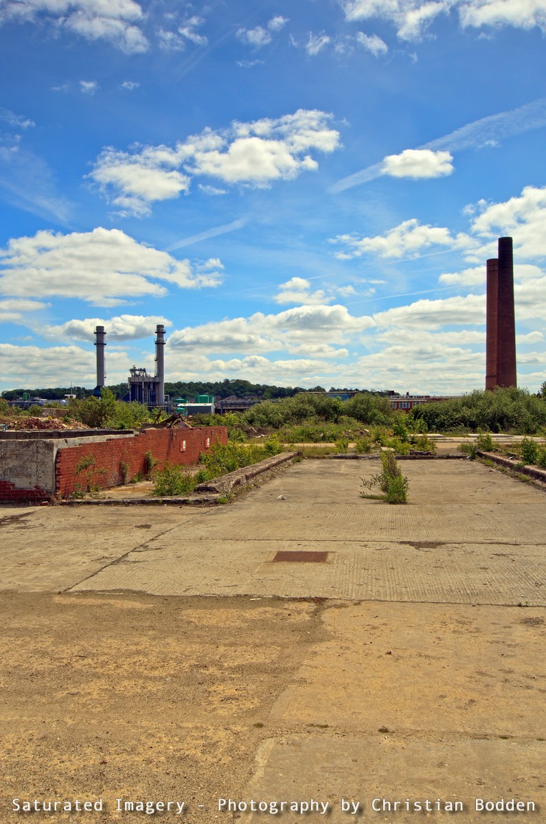
Walking out of Castleford on the canal one passes an active boating community with a boatyard and a number of residential boats. There was also an old Tom-Pudding moored. The canal passes the old Hickson and Welch chemical plant, now mostly derelict, to join the river again at Bulholme Lock.
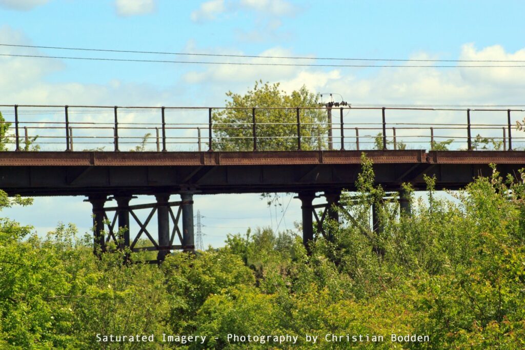
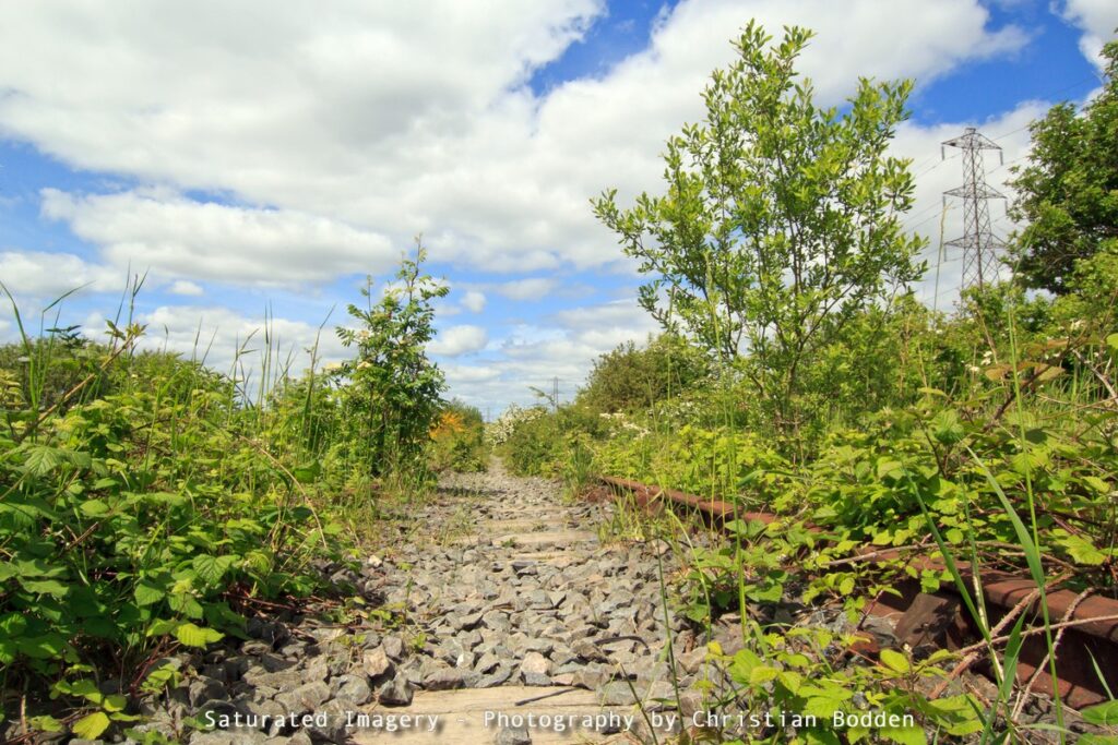
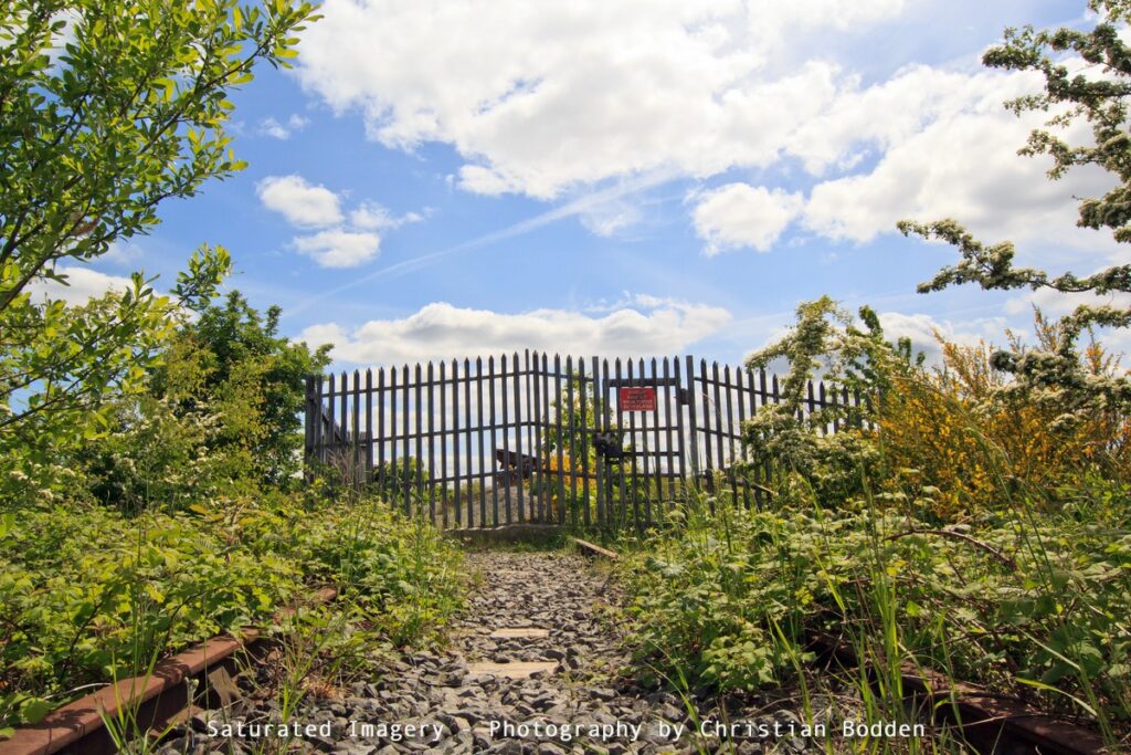
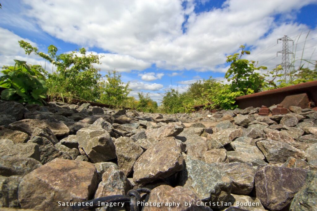
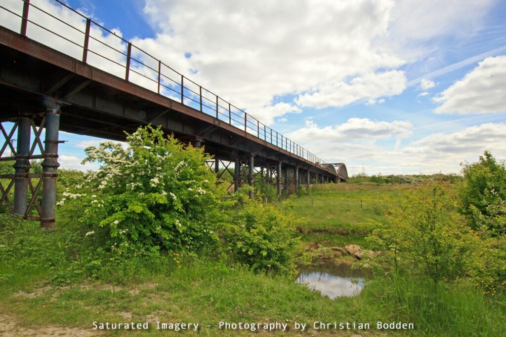
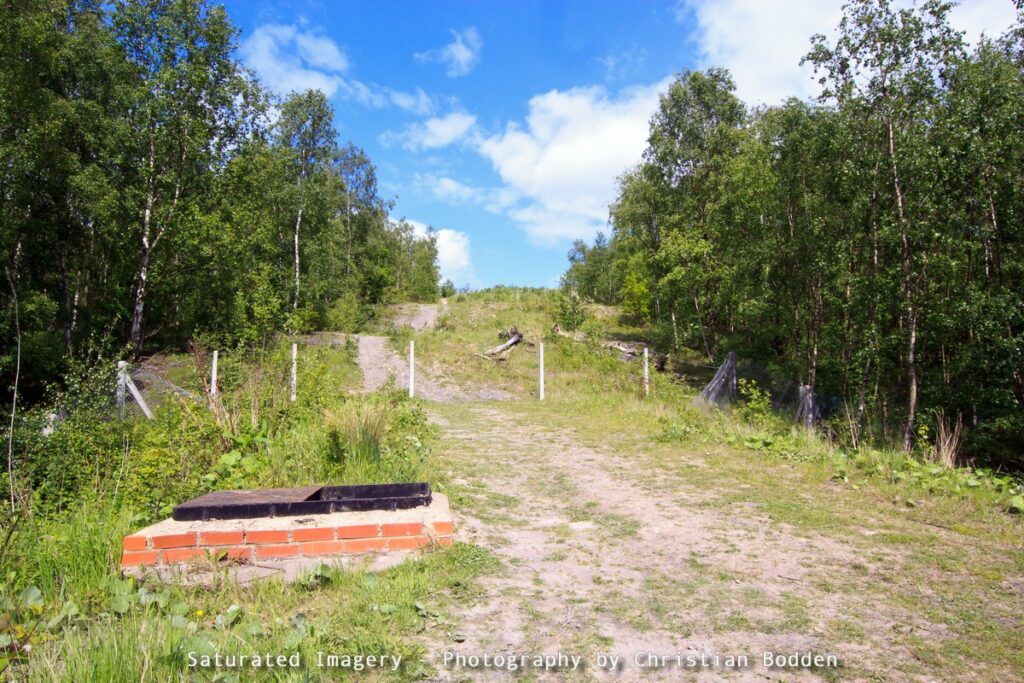
At the western edge of Fairburn Ings and old railway bridge once bearing the Bowers Row Open Cast Branch connecting the line at Garforth, and lines into St Aidan’s Colliery. It’s possible to walk some of the old line.
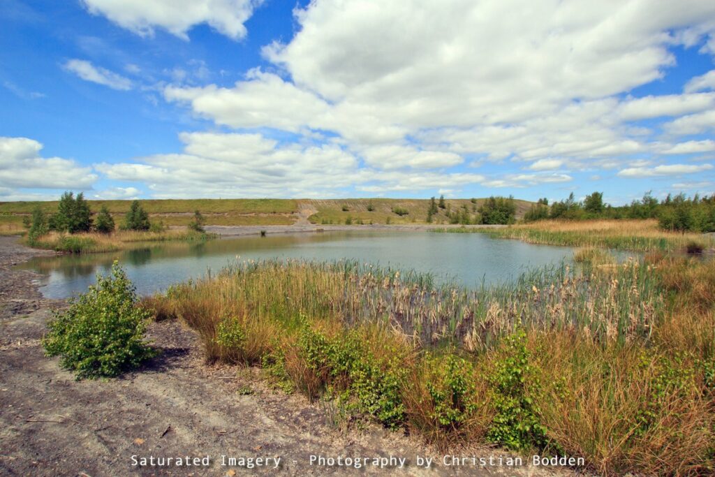
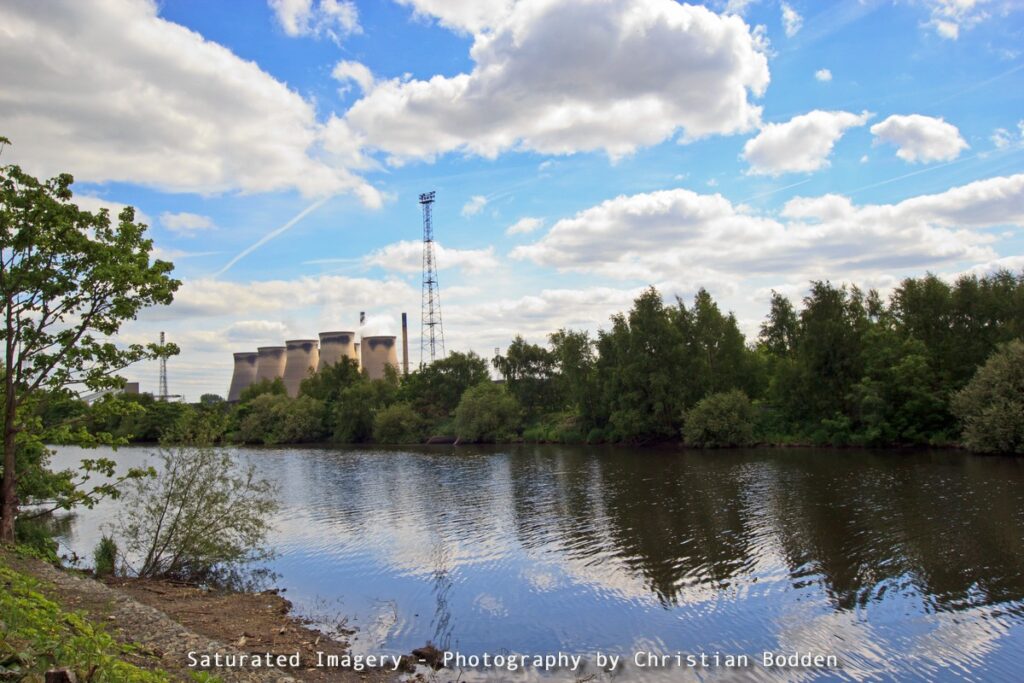
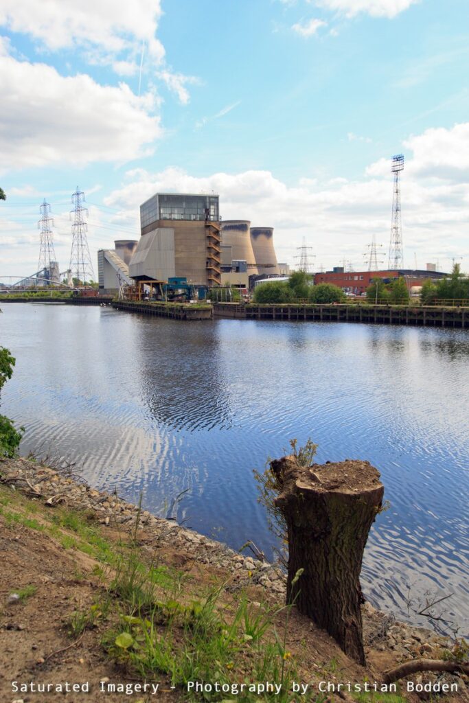
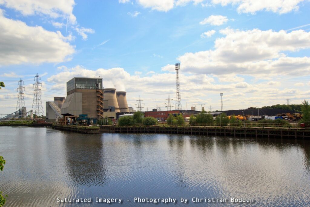
Further down the river skirts the Airedale area of Castleford, and continues down past The lakes of Fairburn Ings and Ferrybridge Power Station, a huge focal point on the Landscape.
Knottingley itself is strange. It appears to have virtually no focal point and town centre, spreading out along Pontefract Road, Hill Top, and Weeland Road. The village of Ferrybridge is more or less coterminous with Knottingley – this is somewhere I used to hitch hike from, before the A1 was fully turned into a motorway as it linked to the service station.
Here’s the map: