Woodlesford and St Aidans
I’ve decided to make a bit of a push to do some more walking, and set off a few days ago to walk up to Woodlesford. This has been partly due to seeing a rather interesting wetland on google maps. More on that later.
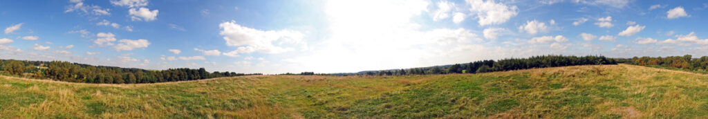
For some reason I didnt’t take many photographs for much of the route on my DSLR, though I did with other cameras, until reaching Woodlesford. The weather was glorious and at that point it really felt like in the country.
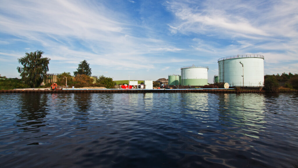
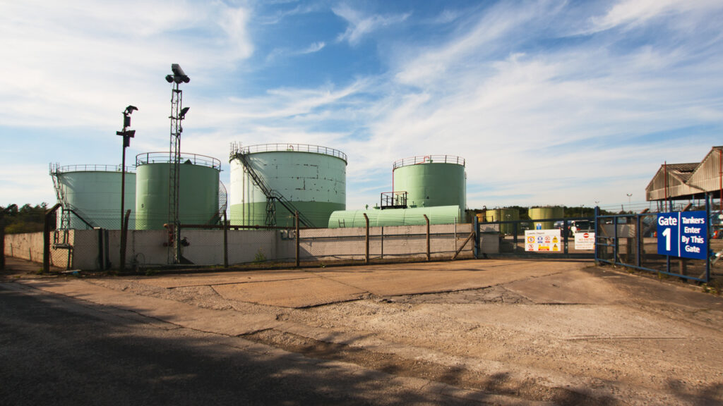
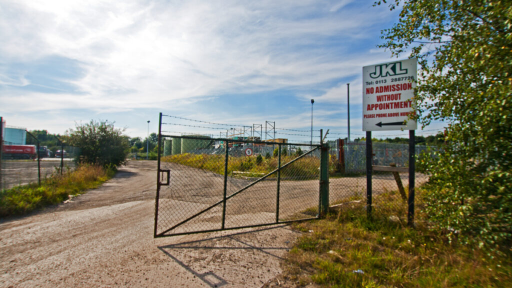
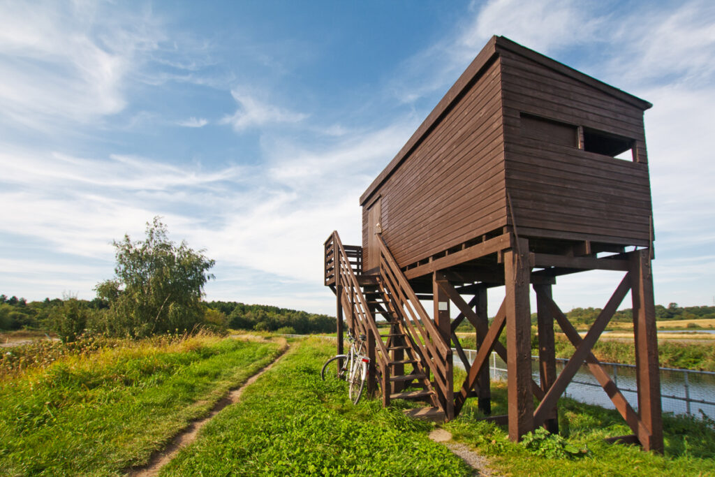
Near where the Woodlesford Cut joins the Aire, at Fleet lane is this old oil depot originally opened in 1938 and refurbished in 1999. On the edge of the canal is a large hide for birdwatching.
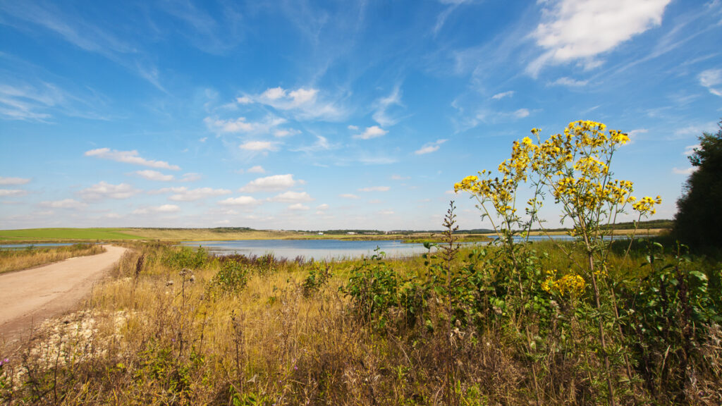
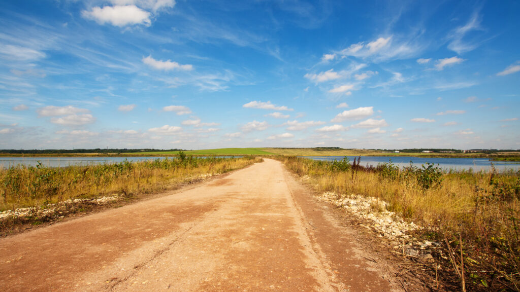
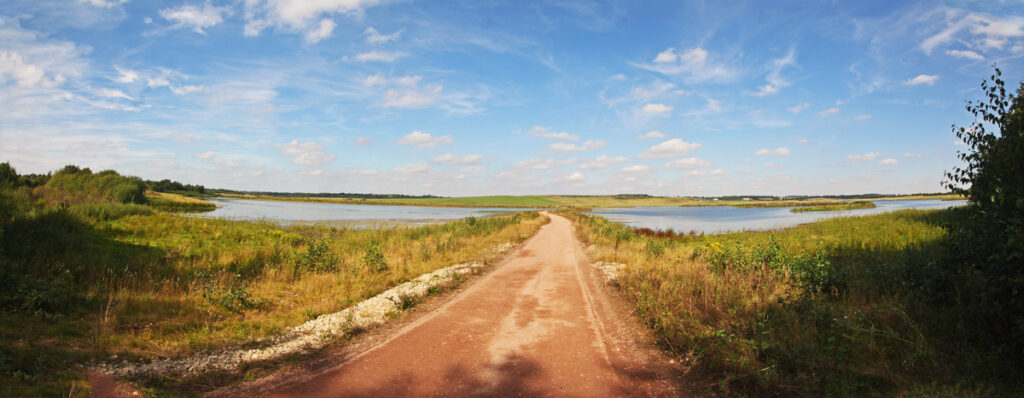
The interesting wetland has an interesting history. The land was originally an open cast mine, and in 1988 the riverbank collapsed and over the subsequent 4 days around 17 million litres of water flowed in to the site, such that the river Calder even backflowed upstream until the water found a natural level.
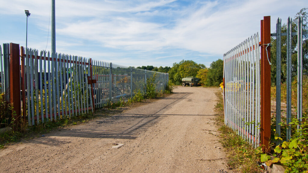
It took 20 million pounds and 10 years before mining resumed, including re-routing the Aire and canalising a large stretch. Mining ceased in 2002 and as I understand it the site now in the hands of Leeds council to be leased to the RSPB for a nature reserve. It’s not yet open, but I accessed the site through a gap in the fence. It certainly looks interesting.
The route of this walk as I walked it is below – 11.75 Miles.
1 thought on “Woodlesford and St Aidans”