Aire and Calder Navigation Revisited
Around 12 years ago, I started to develop, partly due to my photography, an interest in the industrial architecture of Leeds, and especially the canals of West Yorkshire, and after a couple of smaller walks round Holbeck and the upper parts of the Aire and Calder Navigation I set off on a walk from Leeds to Woodlesford. This started quite a trend over the next few year, something that I have slacked on somewhat recently.
On that first walk I tried, and failed, to break into the lake at Skelton, somewhere I remember loosely from a party many years before.
A couple of years ago this was opened into a new country park and a new bridge built over the river from the canal tow path. As well as this there have been significant changes to the Canal between Knowsthorpe and Knostropp Wier with the central island forming the Knostropp Cut having been removed and the Trans-Pennine way routed to the North bank of the the Aire, along with a new wier as part of the flood alleviation scheme following the floods of 2015.
I recently decided to try and get a little more active and visit the lake at Skelton, and then decided to push myself a little and walk back.
This Photo Essay covers that walk.
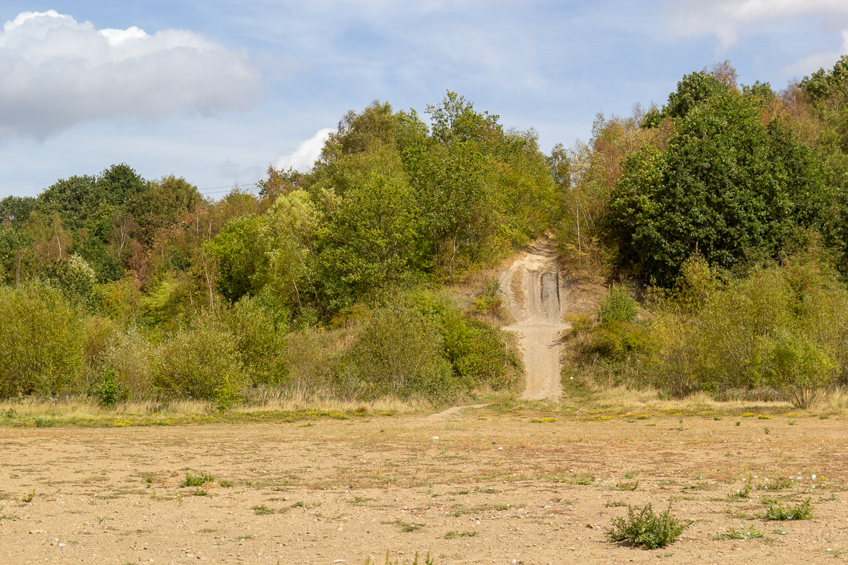
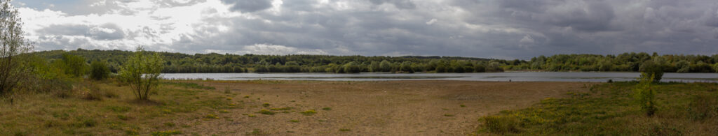
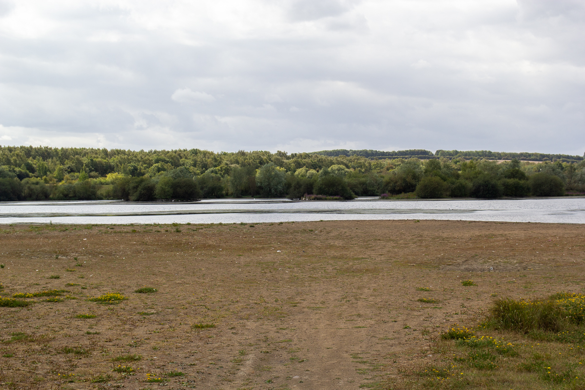
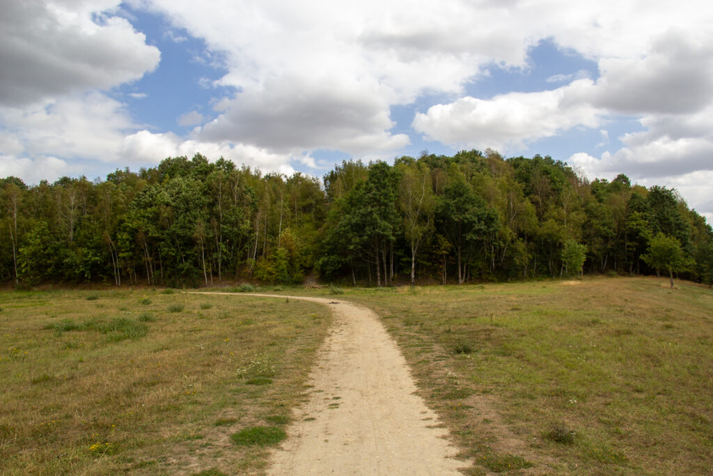
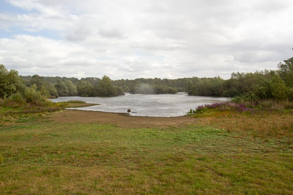
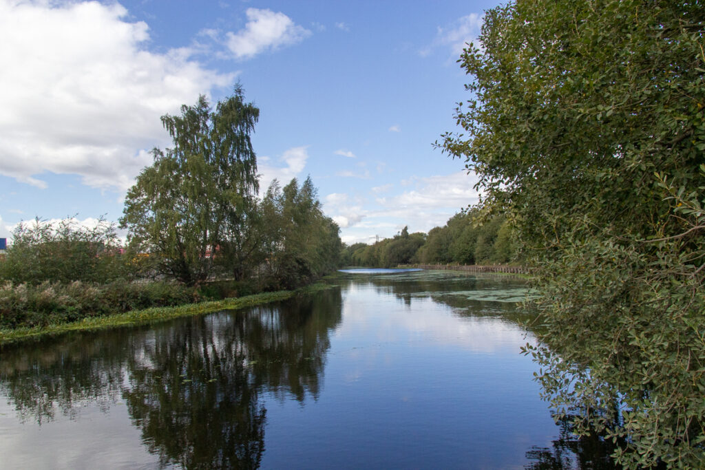
The lake itself is around half a kilometre across, and like many round this area of the Lower Aire is built on old mining land. The park is a mixture of trails, grassland and woodland, surrounded my the river on the south, and new development land to the North, with industrial areas either side. Aside from the contact him of the M1 it is quite traquil, and albeit on a Tuesday, was quite quiet when I was there.
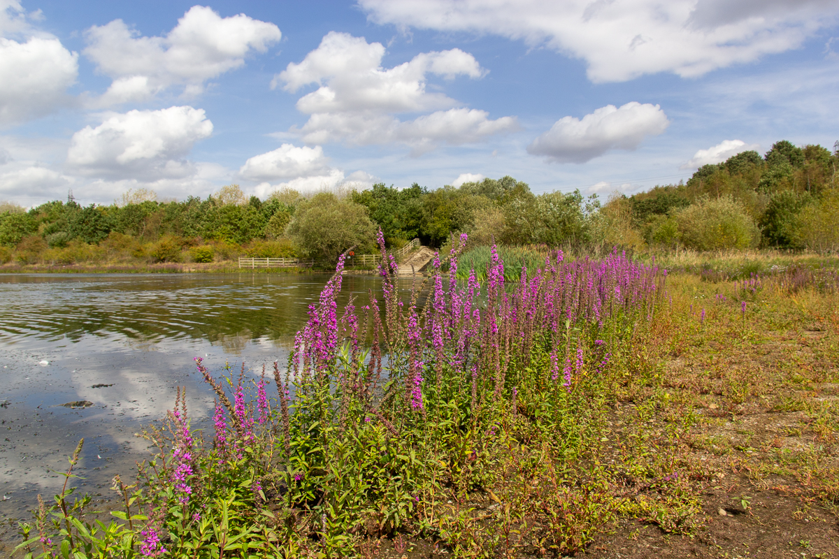
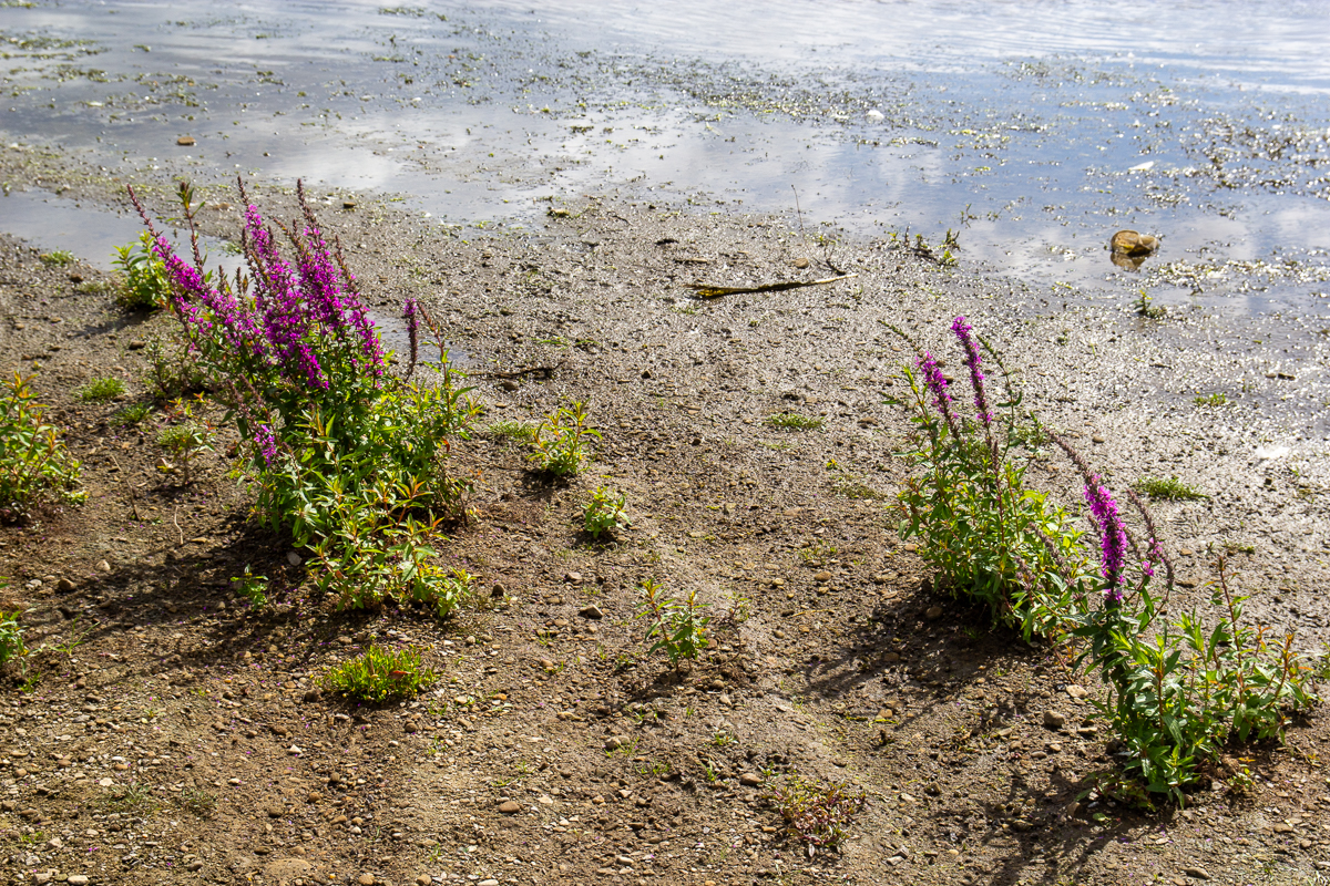
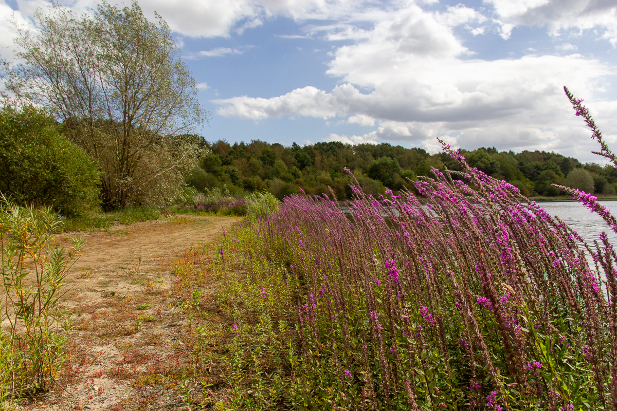
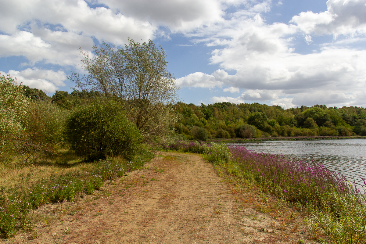
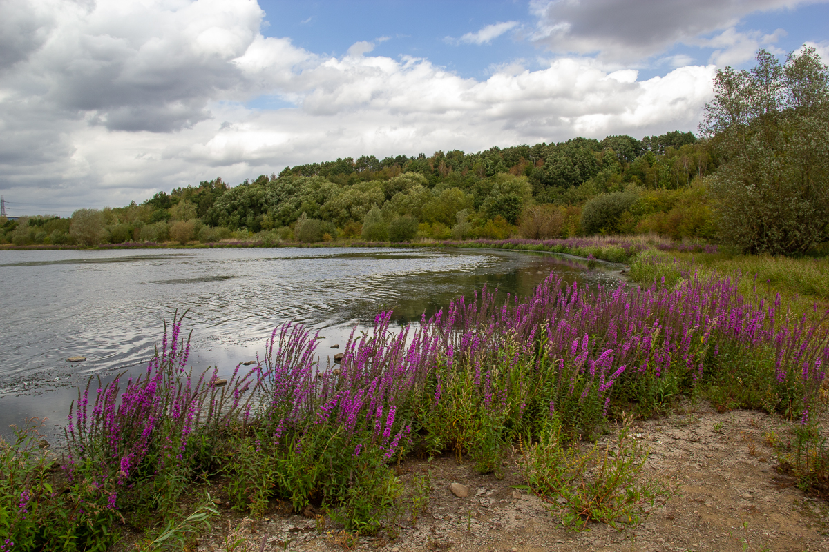
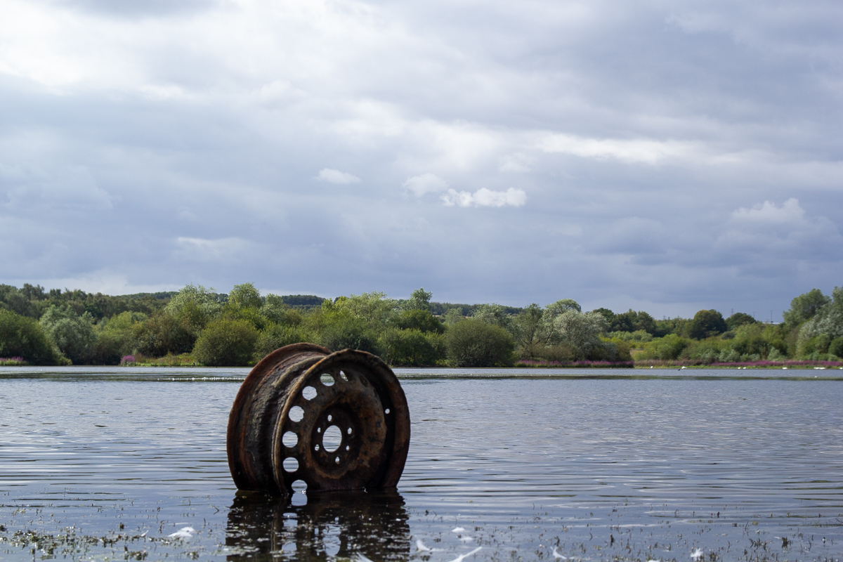
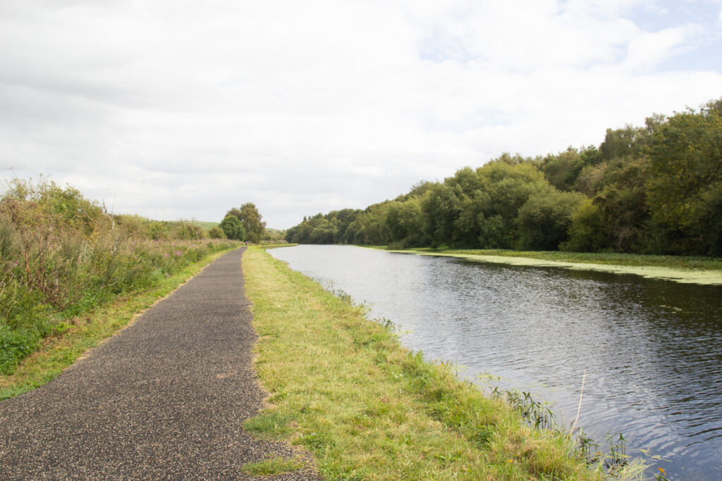
Aside from the inevitable beer cans and a few larger items like this wheel, the lake is very pleasent, ringed with Purple Loosetrife and the typical sandy coal soil of the area. Once you blot out the sound of the motorway it is a patch of countryside crammed into the industry of the area.
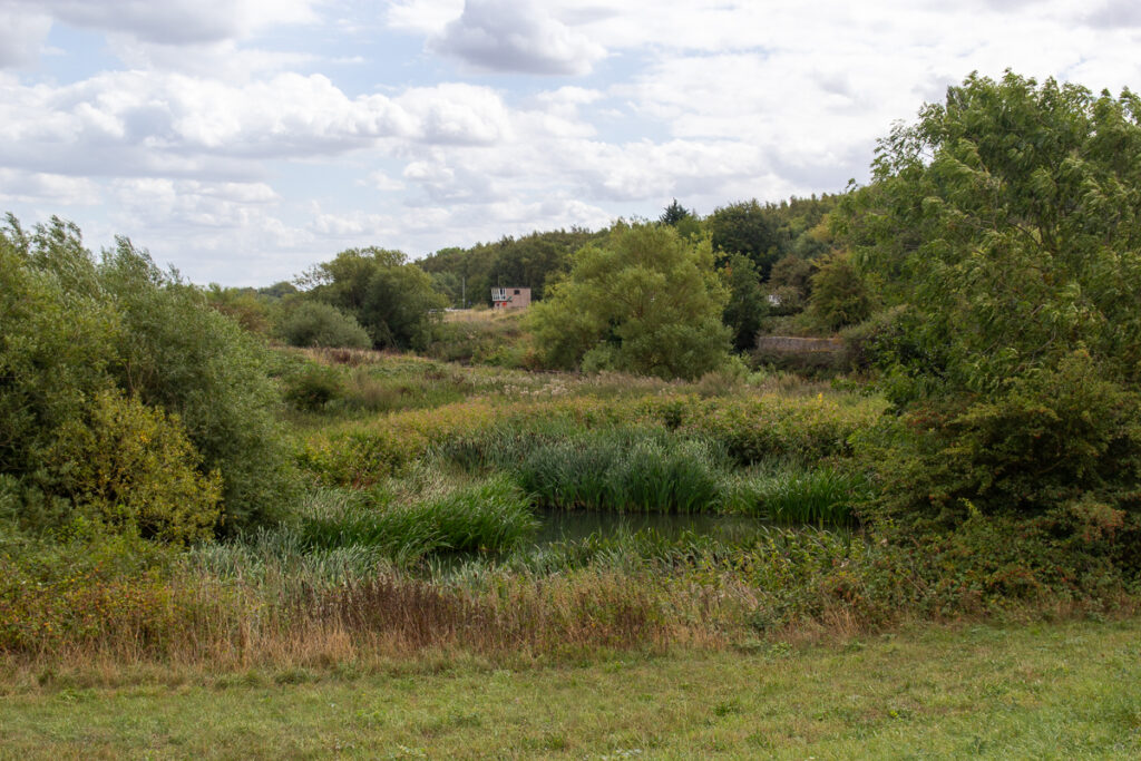
To the south is the river aire and the confluence of Wyke Beck. At this point, it suddenly decided to rain dramitically for about 20 minutes, getting me rather wet.
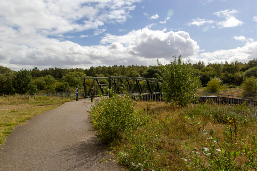
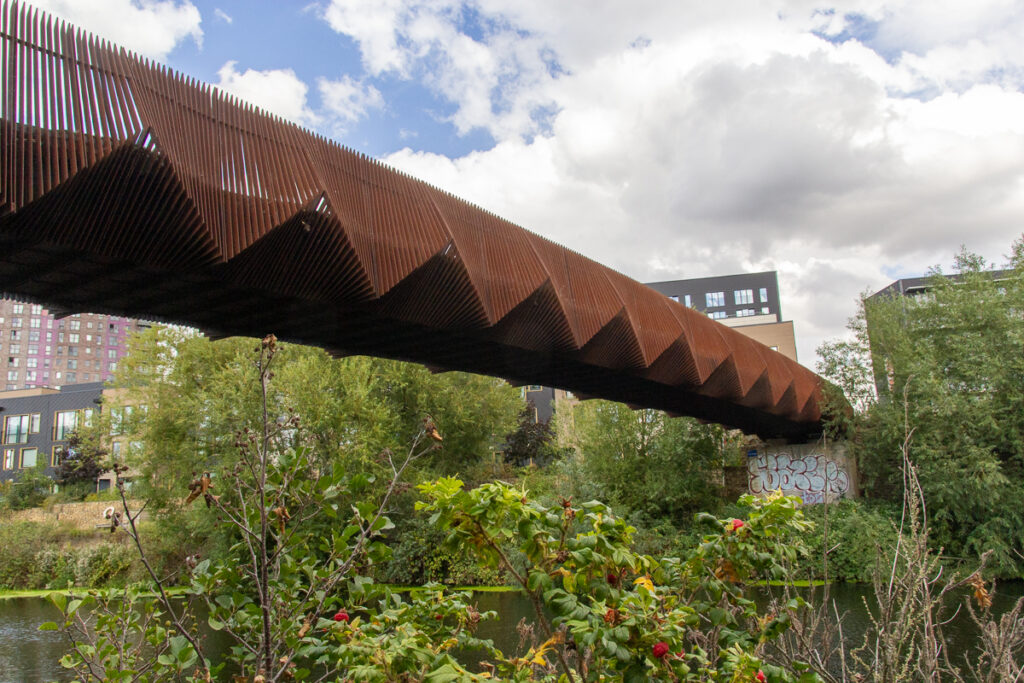
The new footbridge links the lake to the canal towpath, over the river, opening up the new park from the south.
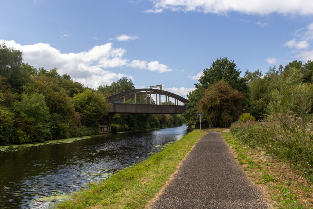
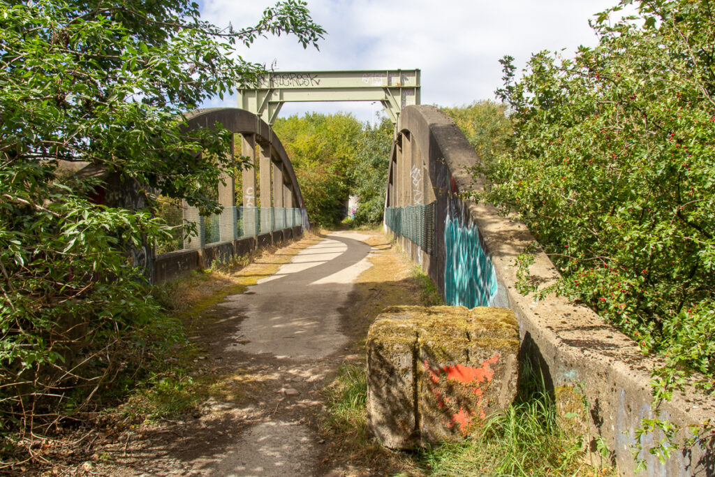
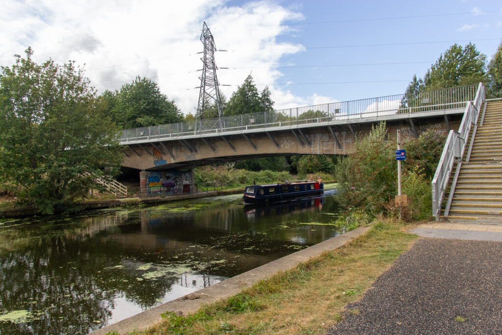
Over the river and canal is a pair of bridges which once carried the Waterloo Colliery line, and on the path the tracks can still be seen. The bridges now join Knowsthorpe Lane to Rothwell Country Park.
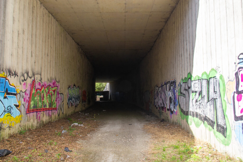
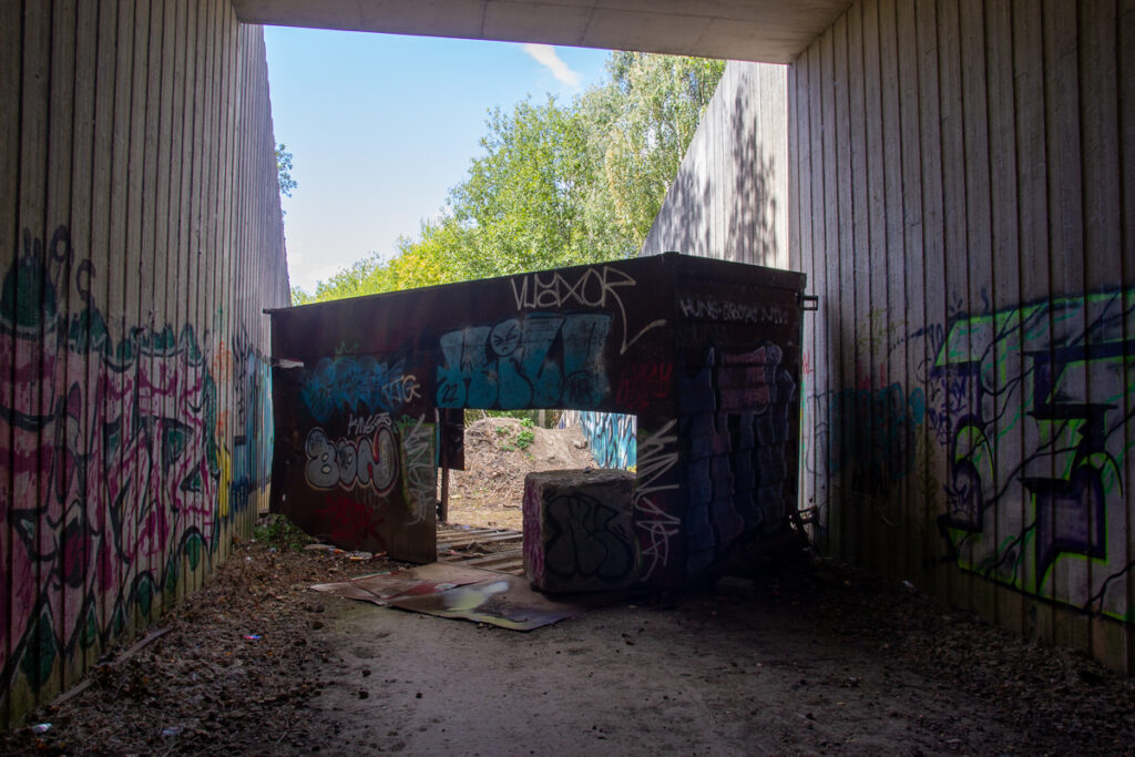
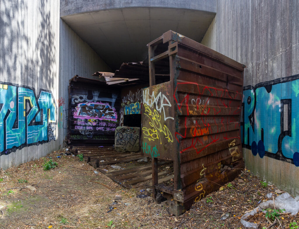
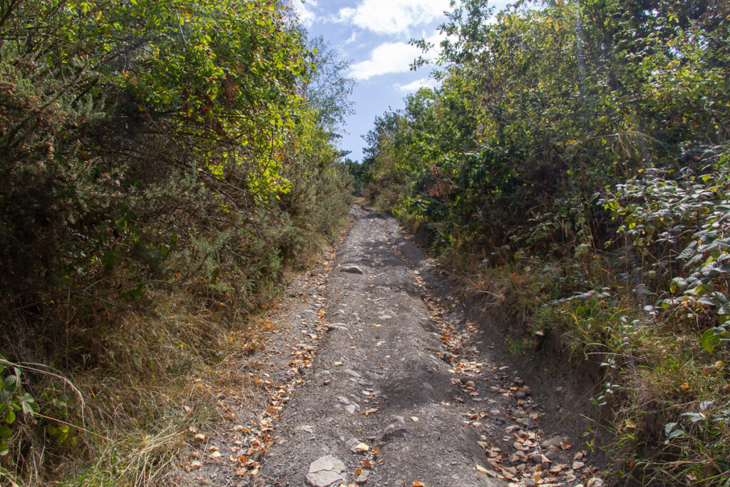
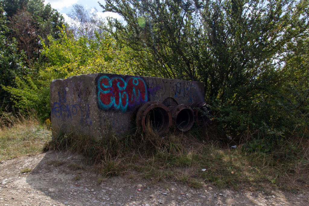
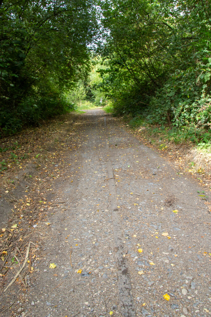
Under the Motorway tunnel is rather unpleasent – the track here is somewhere I plan to explore soon, again I went a little way down here before 13 years ago – the area behind here is still quite undeveloped but the area is moving quickly, so I guess this may need to be soon. At the end of the tunnel is what looks like the remains of a shipping container to block the tunnel from vehicles, with a door cut through it, so I assume it is an extant path.
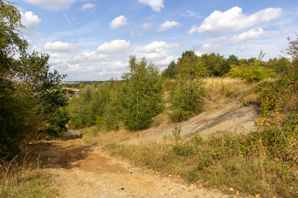
The motorway river crossing is more open and spacious, seemingly a spot for gatherings and someone in residence in a tent.
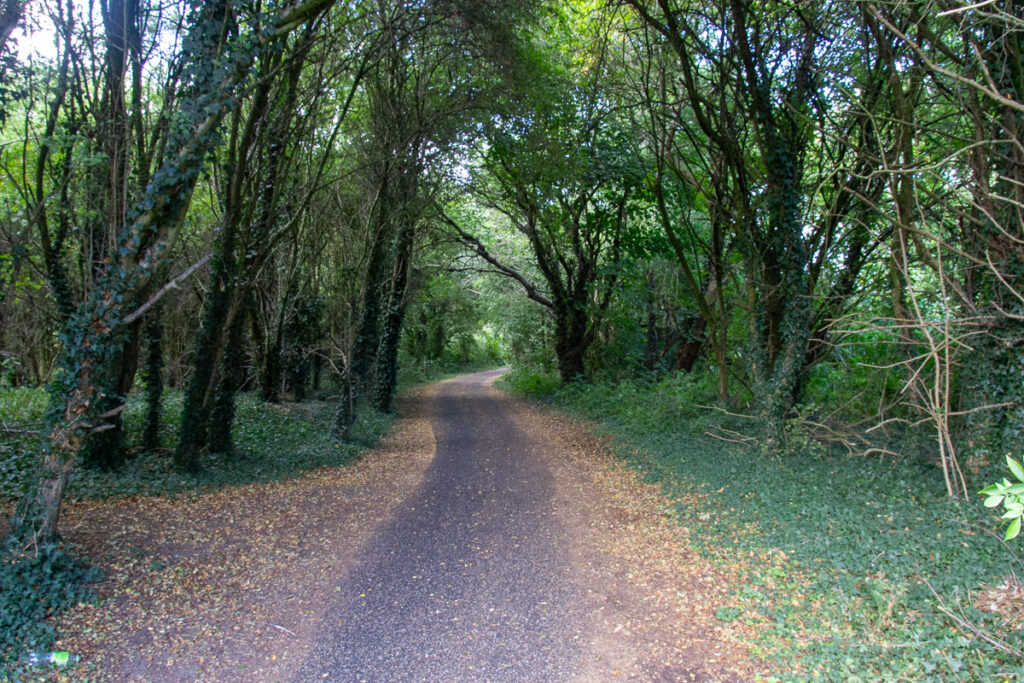
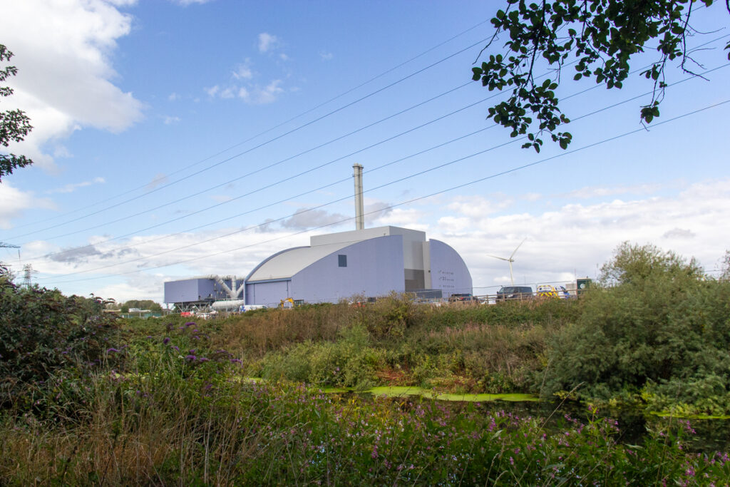
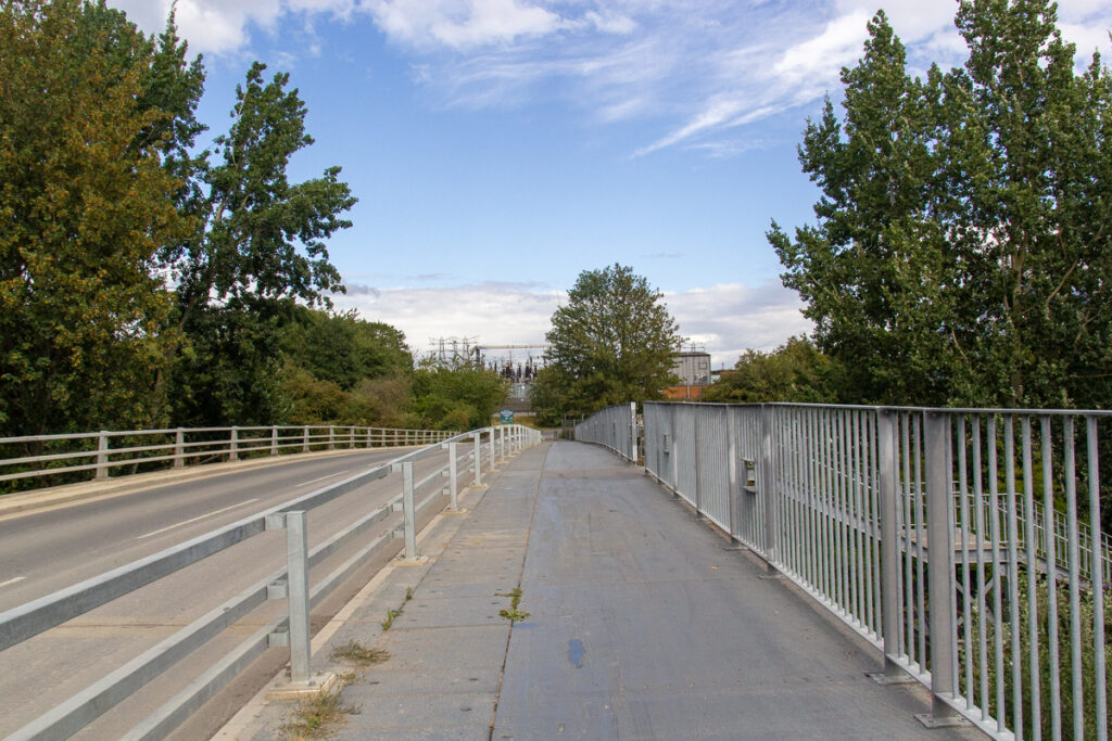
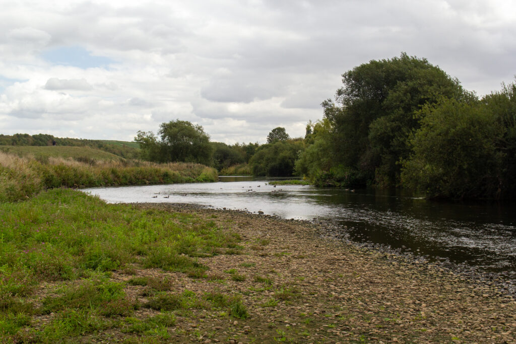
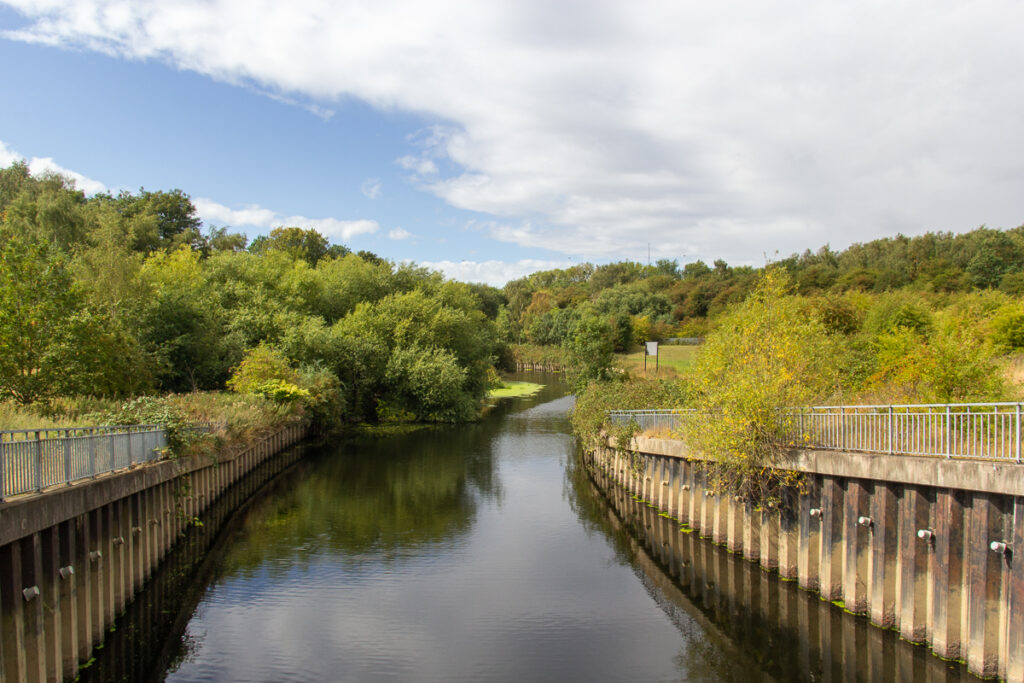
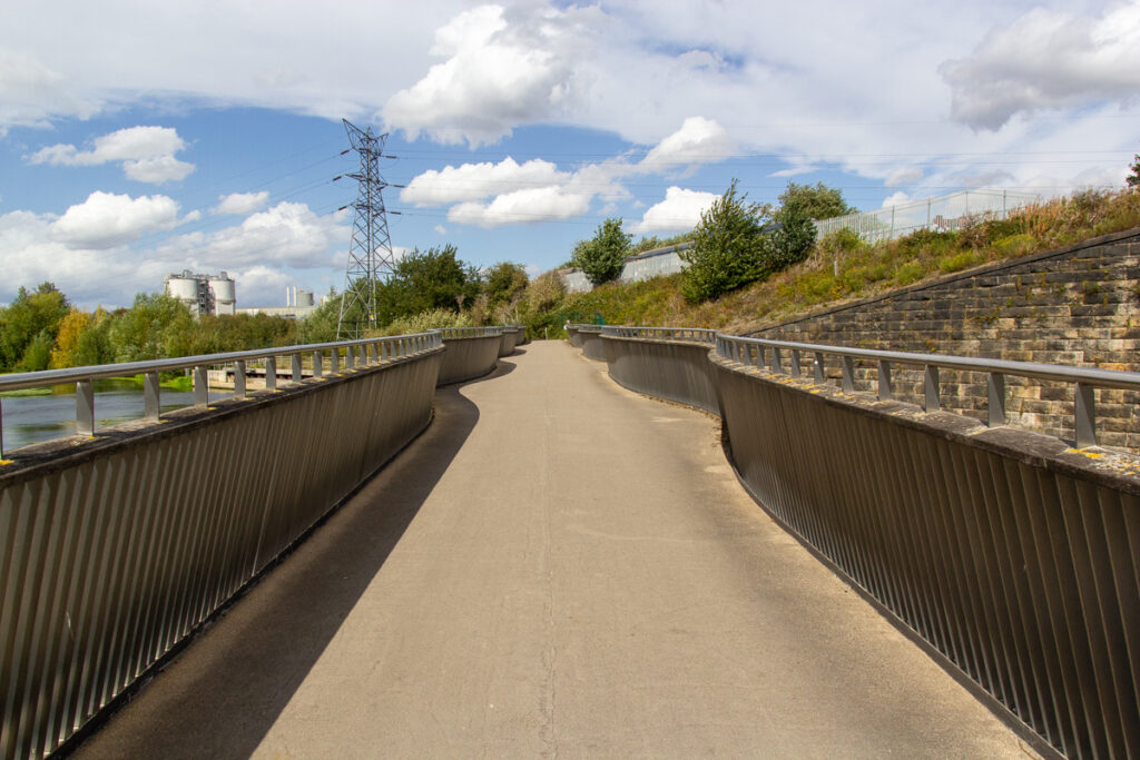
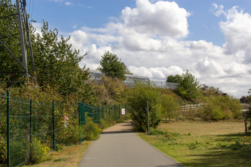
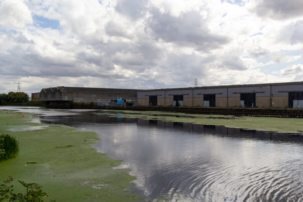
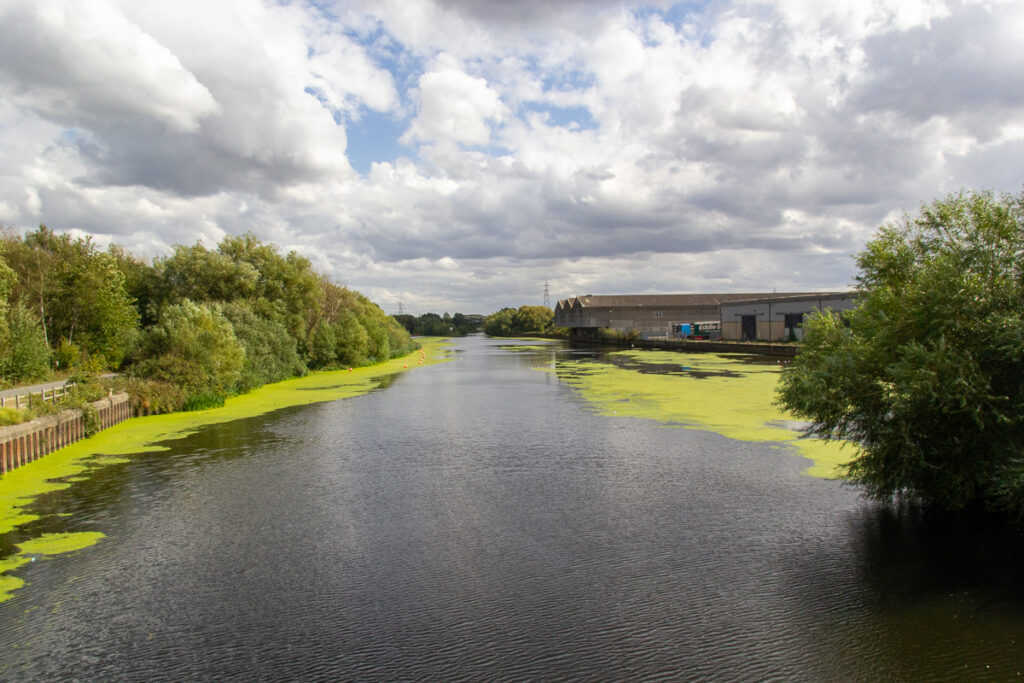
The trail along the river has been improved since my last walk, and is cleanly asphalted. This runs right through the modern industrial area of Leeds with Stourton and the new Inland Port to the south and the Enfinium Power Station to the north. Skelton Bridge has been widened with a footway, too.
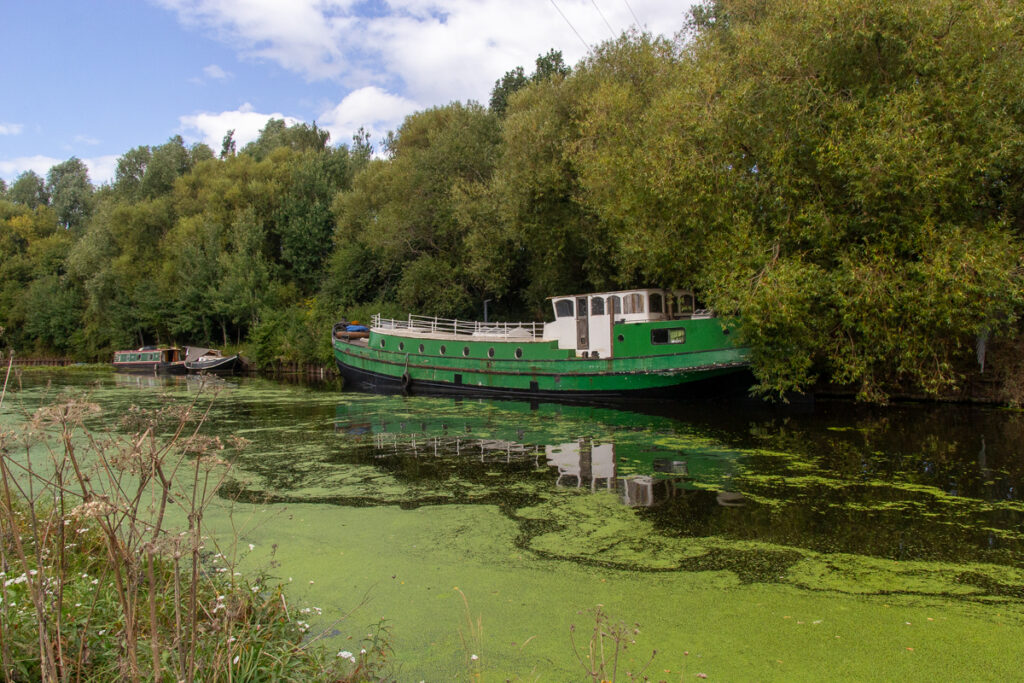
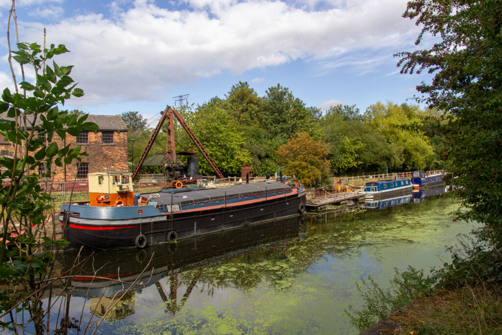
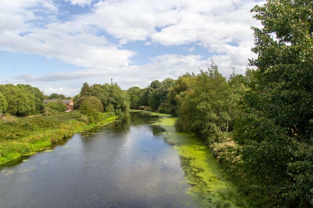
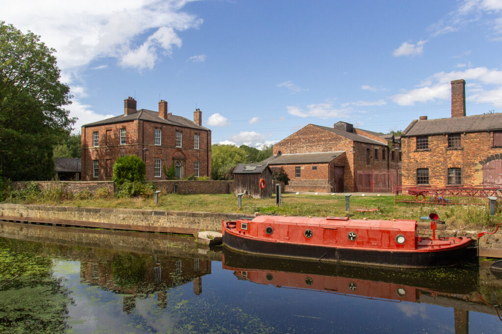
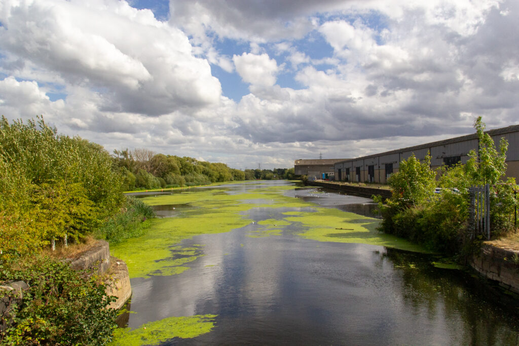
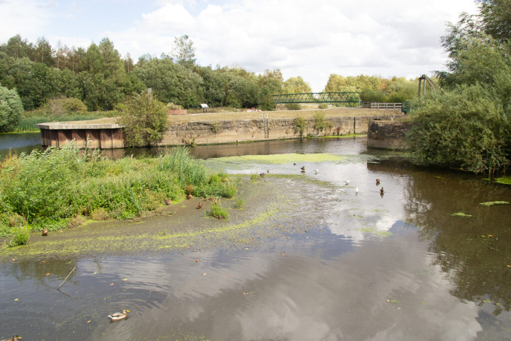
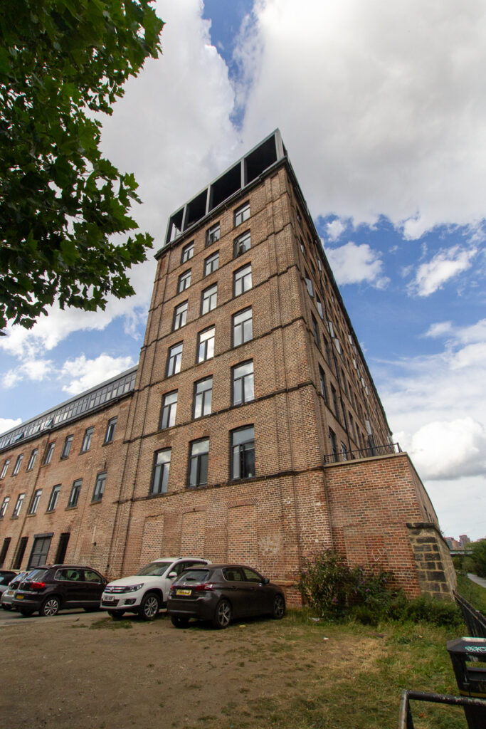
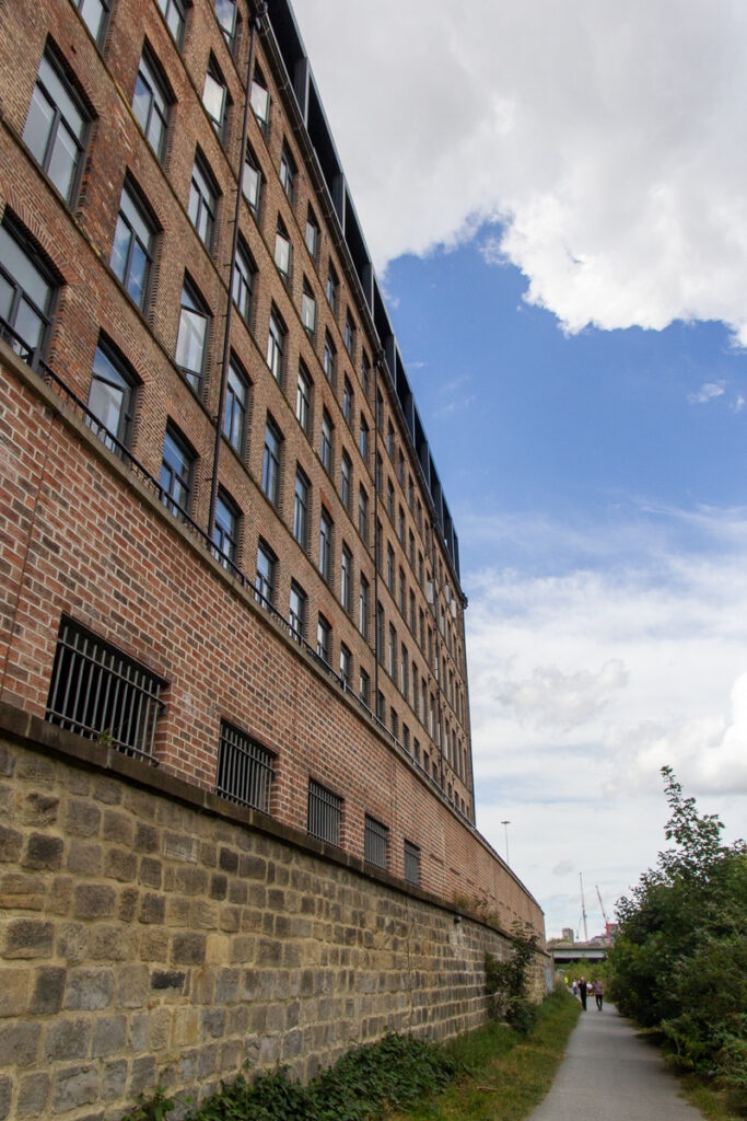
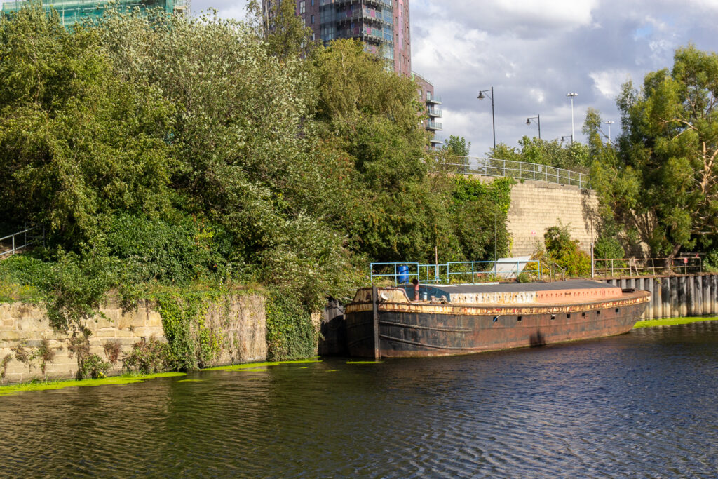
From here the trail crosses the river as it approaches Thwaite Mills. The museum here has sadly closed, as the council has ended the lease, and the Canal and River Trust, who own the building (and in my mind care little for some of what they own) claim to be unable to continue operation as a museum, leaving its future uncertain. The moorings here have a number of interesting looking boats, some of a reasonable size. The summer heat and drought has led to a large amount of algae and duckweed.
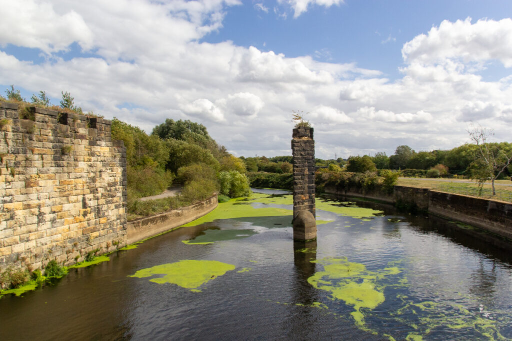
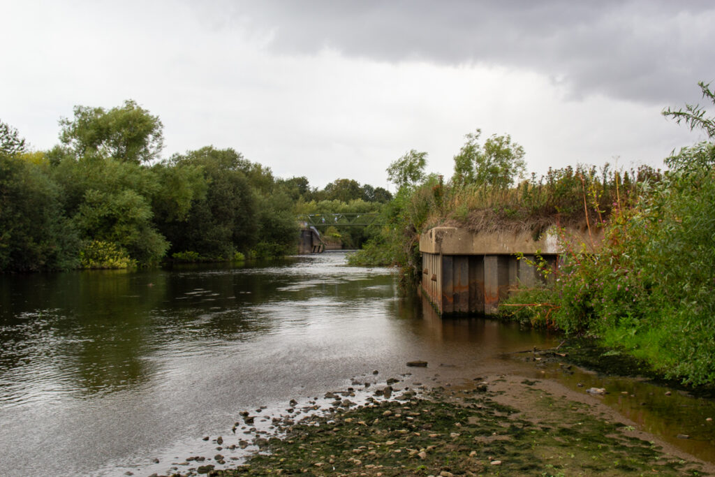
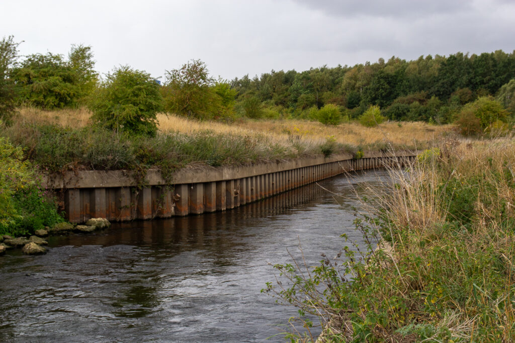
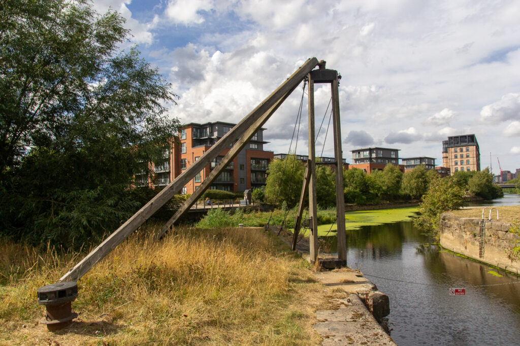
The new footbridge and moveable wier at Knostropp gives a clear view of the remaining support from the old swingbridge. It appears that GBRf are using the sidings for stabling wagons, another remnant of the many many old colliery lines in Leeds.
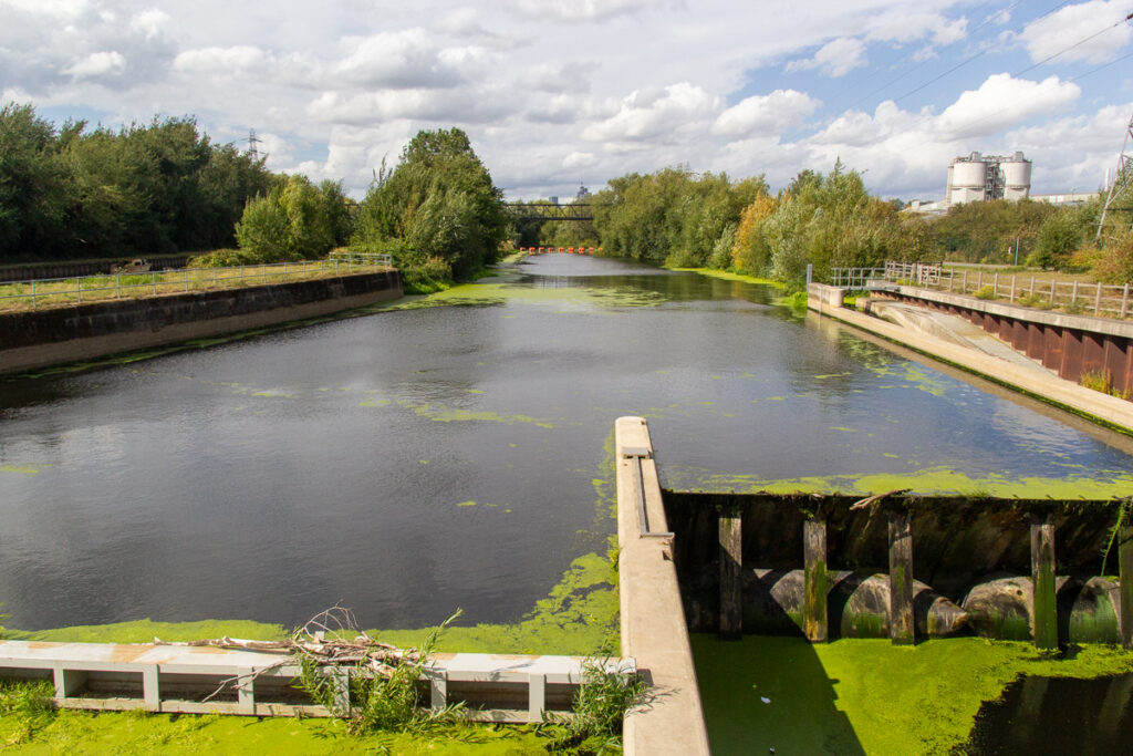
Here the widening of the from the removal of the central island is clear, giving a very different view from before. These developemnts enable flood management, by managing levels better and allowing emptying into floodplains further down.
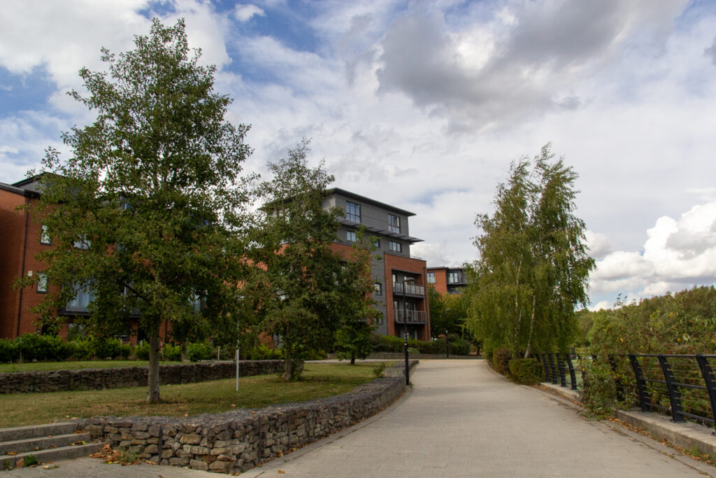
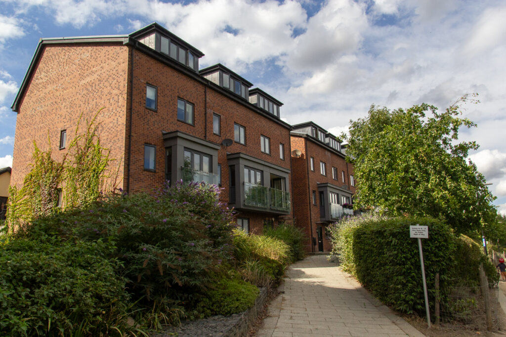
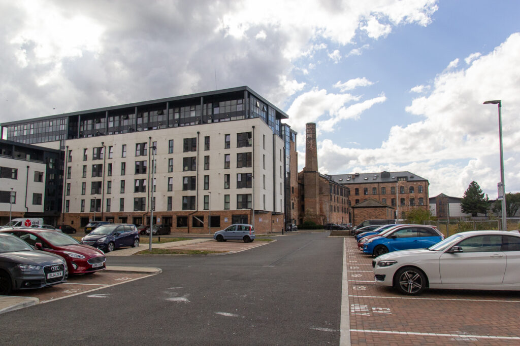
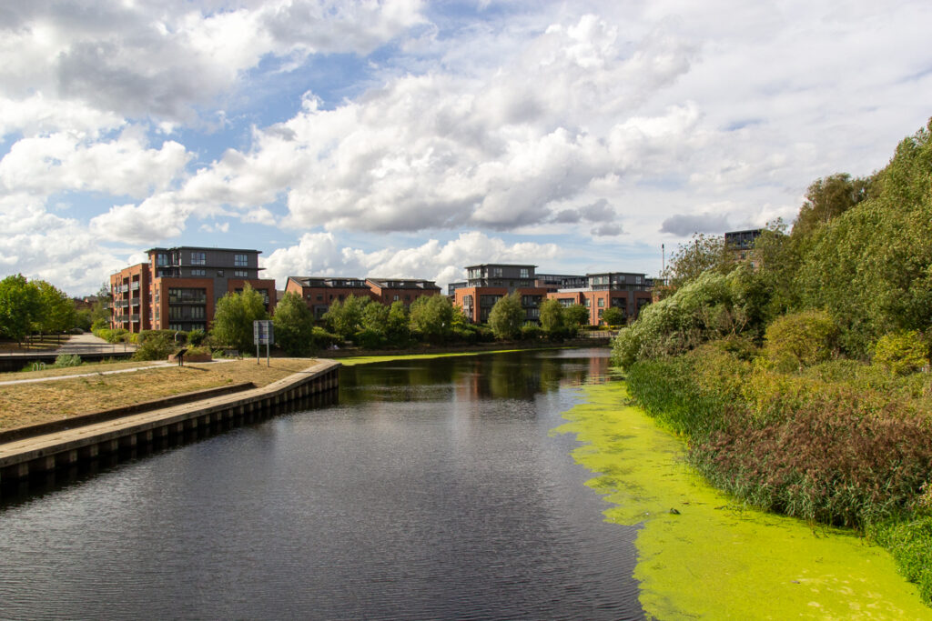
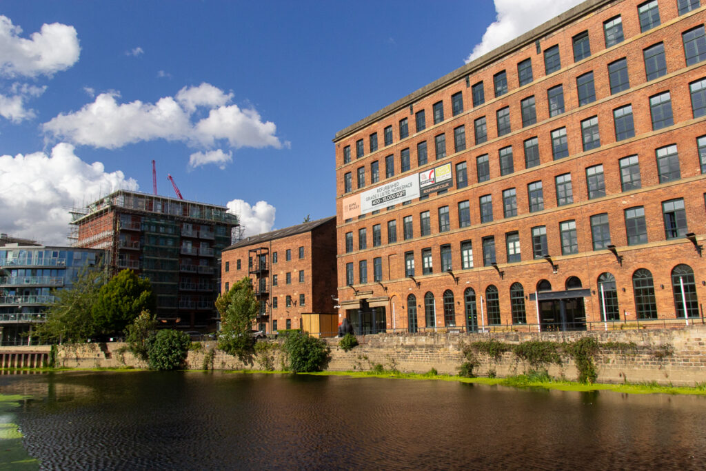
Thirteen years ago, the new development at Knowlesthorpe was under construction and Hunslet mills (another place I never managed to get into) was derelict. The development is quite well put together and seemed to have quite a few families, and children playing which is always encouraging.
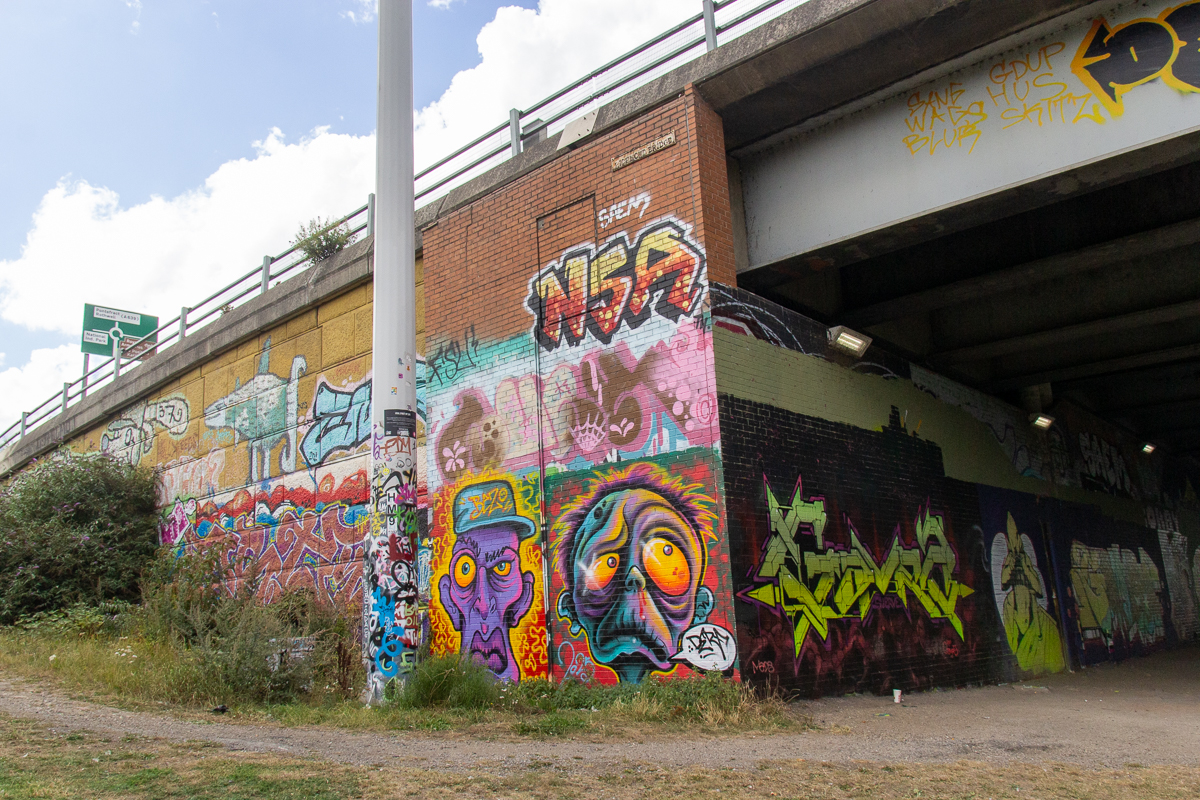
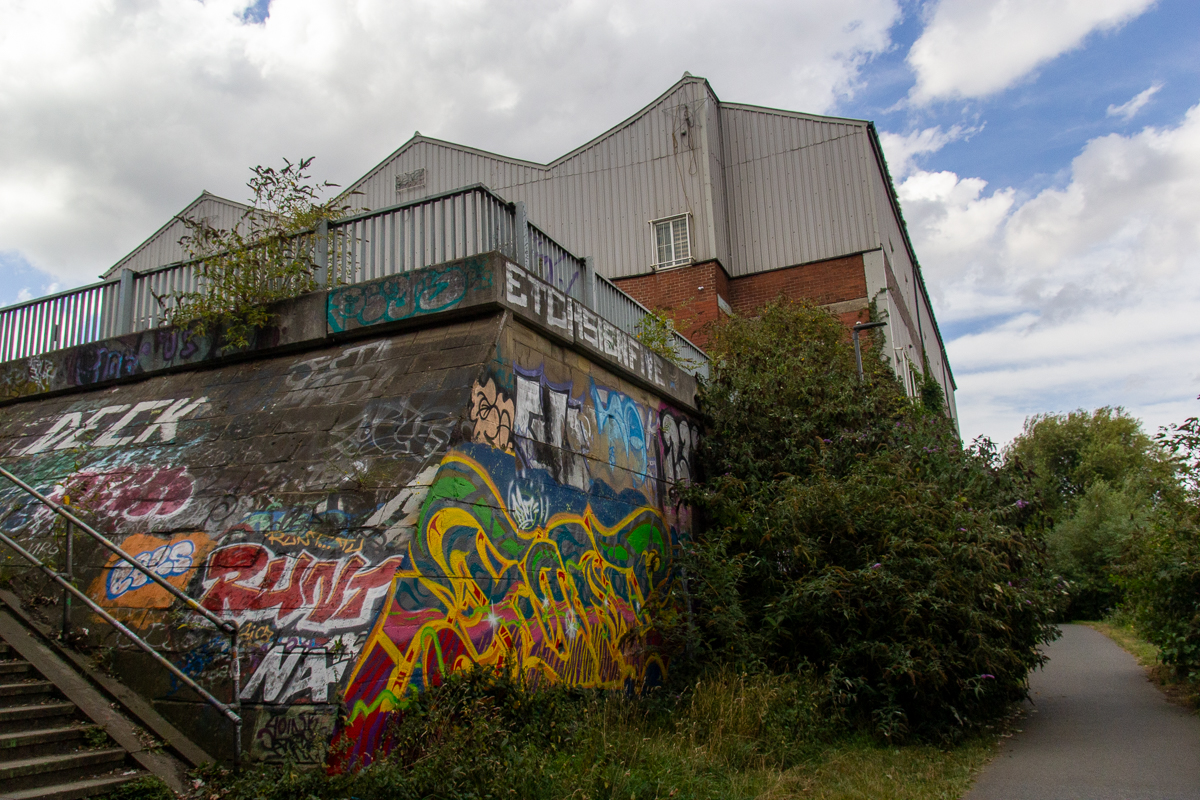
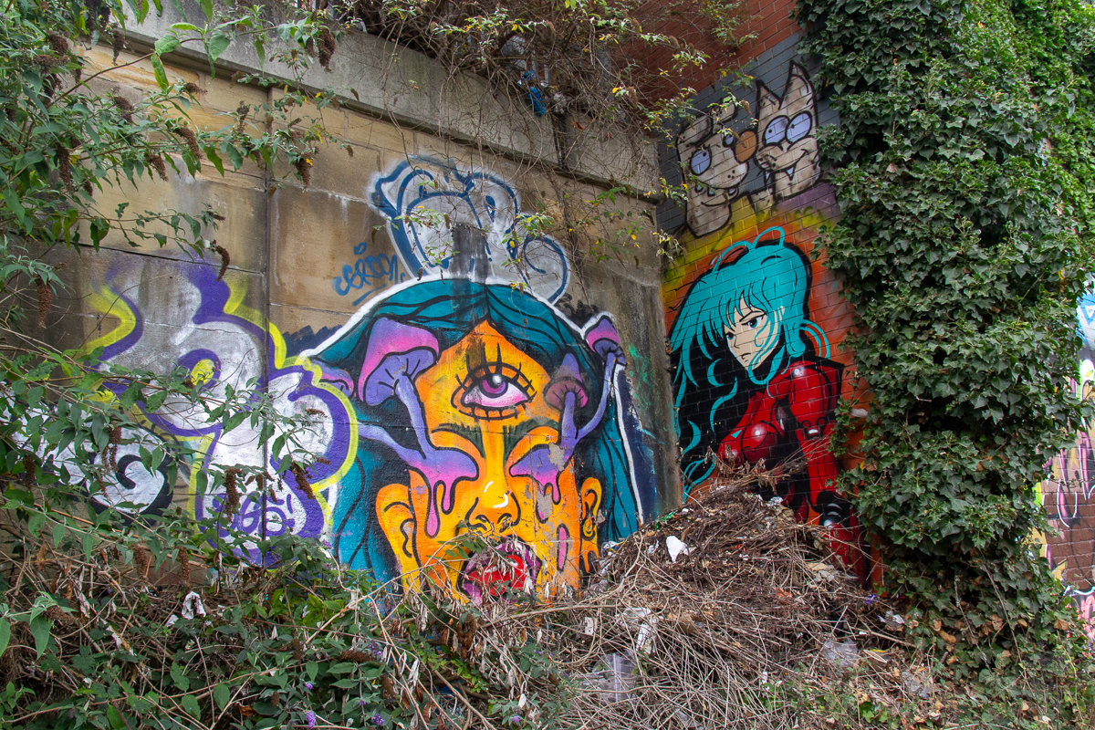
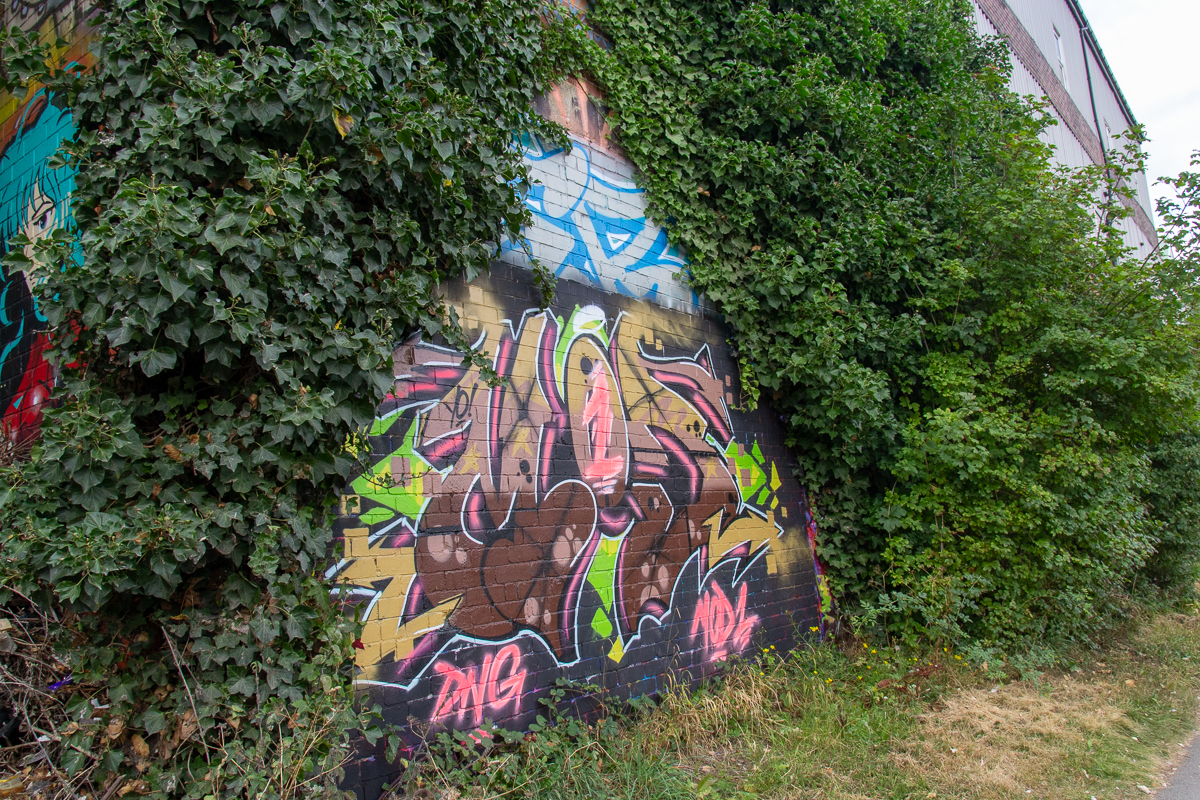
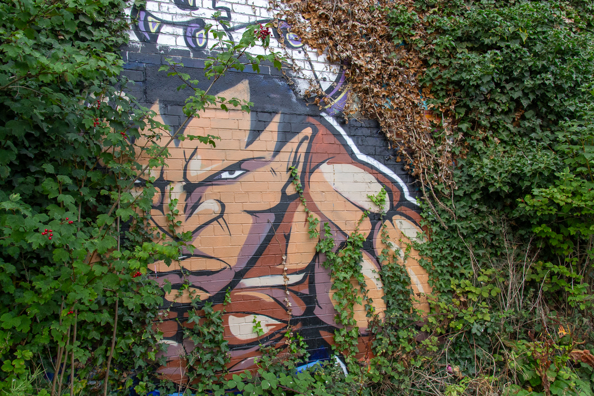
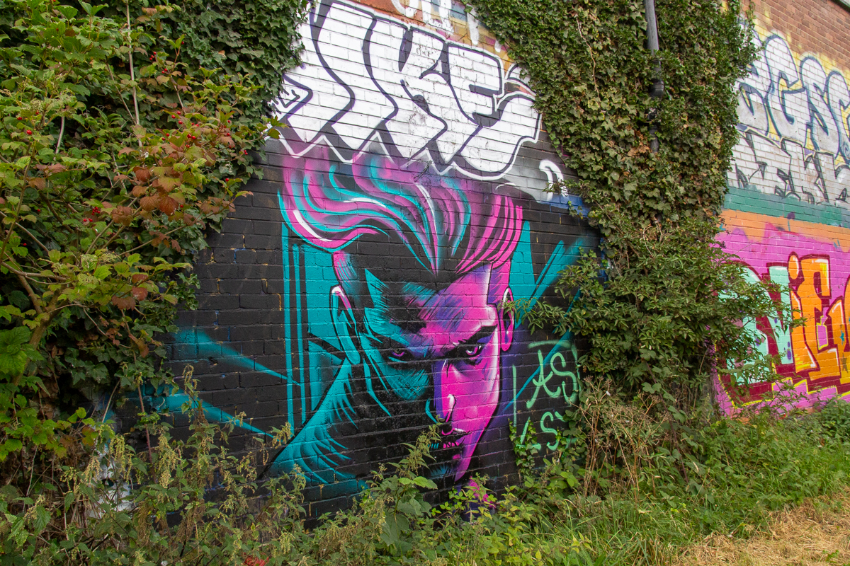
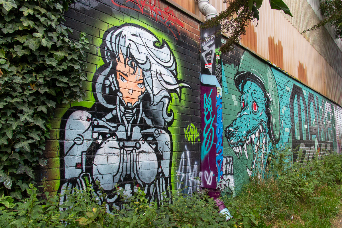
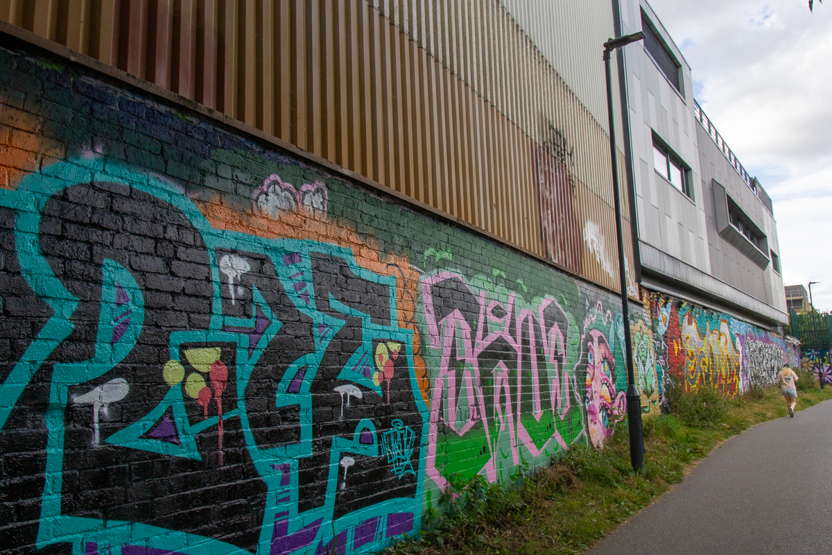
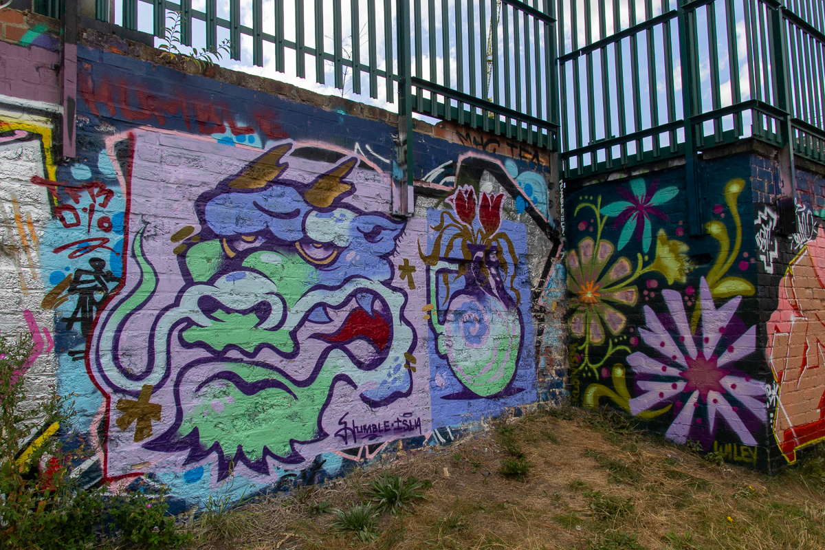
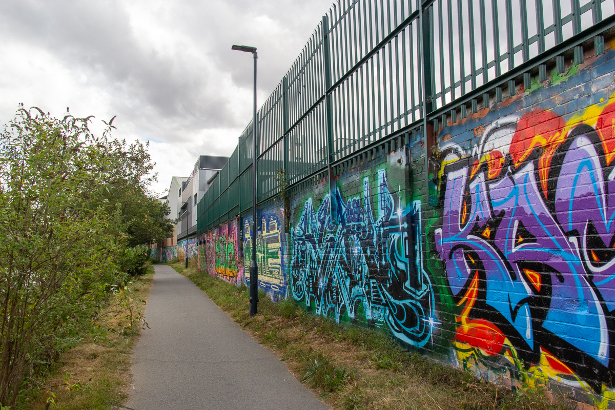
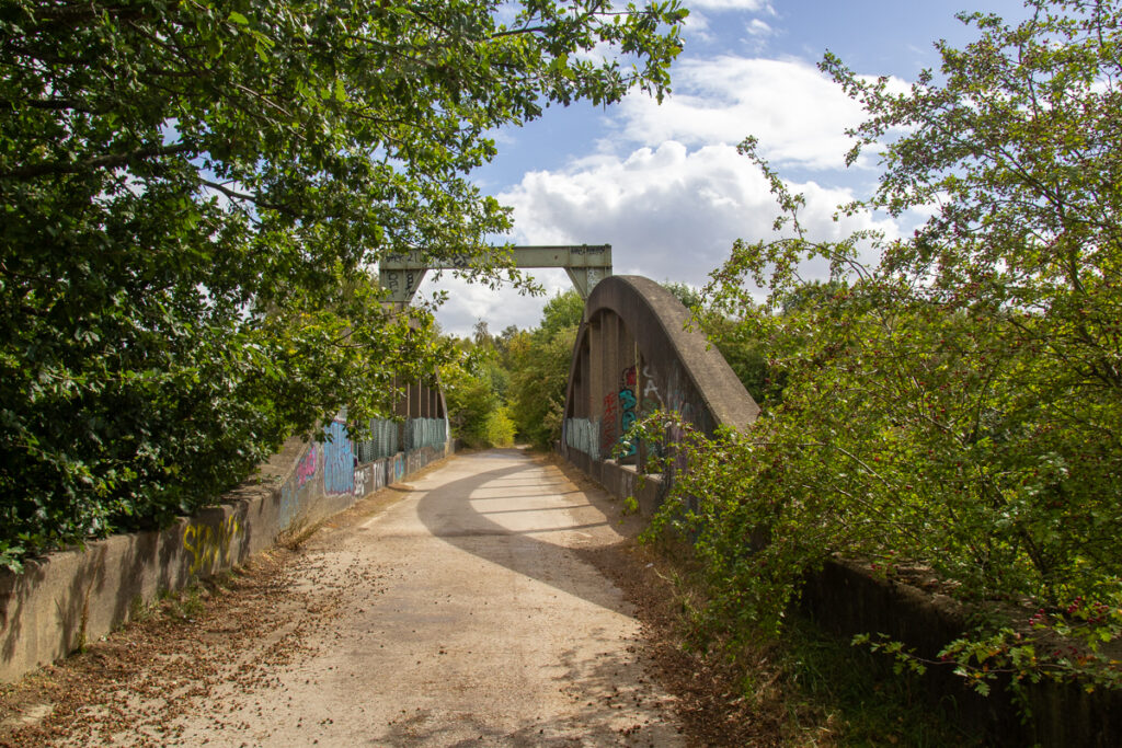
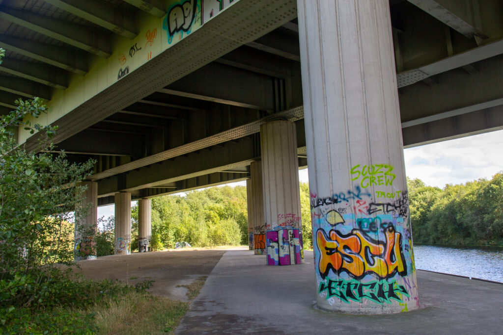
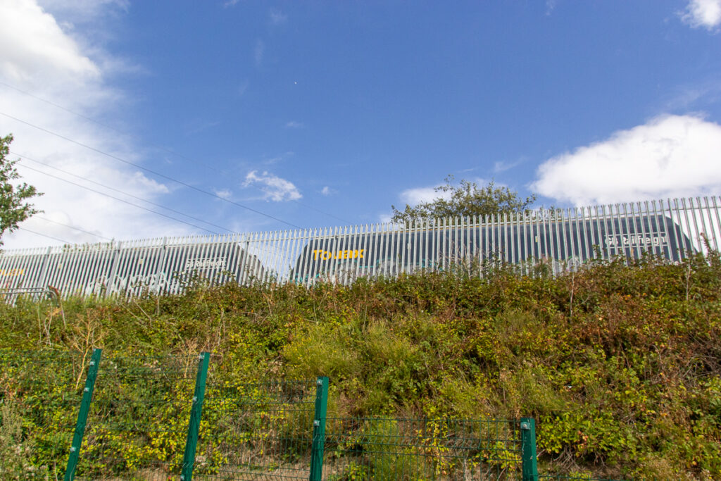
Under and along from South Accomodation Road is a spectacular array of graffiti. This of course is a subject that causes much mixed opion, but I think that the majority of this is bright, colourful and artistic and from how it is overgrown with bushes and ivy seems to have been present for a while.
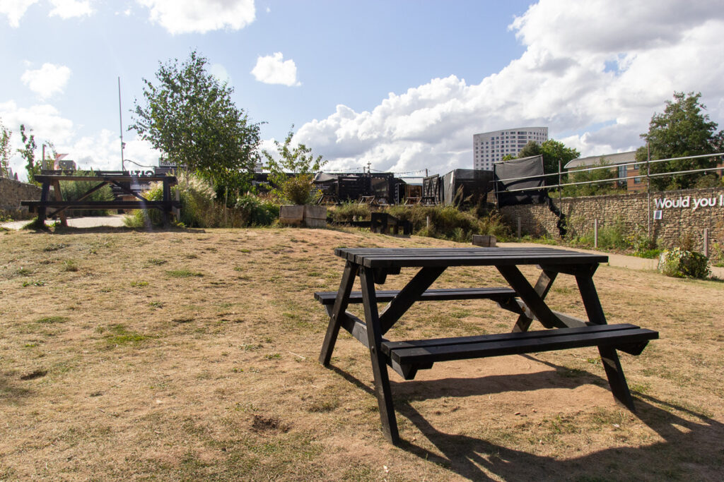
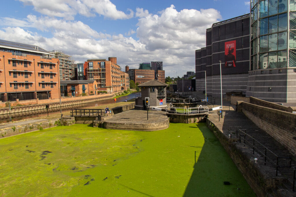
And back to Leeds. A welcome addition, as part of the Citu development is Piglove on The River, a small container bar and Greens Grocers, a micro deli next door. This was a lovely place for a final rest, and a drink before the last half a mile to the centre of town. Leeds Lock is very green at the moment…